The Dictionary of Polish Place Names (Nazwy Miejscowe Polski) explains the origin of place names in Poland and details how the place name changed over time.
Volume XI of Nazwy Miejscowe Polski lists one place called Rostki-Kaptury. This entry is for a village currently in the Masovian Voivodeship and which belongs to the Szelków parish. Today, the village of Rostki-Kaptury is known simply as Kaptury.
Nazwy Miejscowe Polski indicates that Rostki-Kaptury was in the Szelków Gmina, Ostrołęka Voivodeship in the years 1975-1998, and is 11 kilometers southeast of Ostrów Mazowiecka. Mentions of the village include “Dux donated to Thoma, Derslao and Mroczeslao, heirs of Rosthky, 10 manses on the Orzic river near Maków, around the Rzwyen forest” in (1414–25) 1456, from Kaptury in (1565), Rosthki Kapturi in 1582, Rostki Kaptury in 1783–84, Rostki kapłuzy (!) in 1827, Rostki Kaptury in 1888, Rostki-Kaptury, -tek-tur, kapturowski in 1971, Rostki-Kaptury, -tek-tur in 1982, and after the name change Kaptury, -tur, kapturski in 1996.
The name Rostki is a repetition of the name Rostki (a village 8.5 kilometers northwest of Nasielsk). The element Kaptury comes from the name of a settlement Kaptur, in the plural form.
Source: Rymut, Kazimierz, Barbara Czopek-Kopciuch, and Urszula Bijak, eds., Nazwy Miejscowe Polski (Place Names of Poland) – Krakow 2005, Volume XI, page 90.
Click the link for a PDF copy of the Nazwy Miejscowe Polski entry for Rostki-Kaptury. Translated rom the Polish, the entry reads:
Rostki-Kaptury, today Kaptury, a village in the Ostrołęka district, Szelków commune, 11 km southeast of Ostrów Mazowiecka: Dux donated to Thoma, Derslao and Mroczeslao, heirs of Rosthky, 10 manses on the Orzic river near Maków, around the Rzwyen forest (1414–25) 1456 SHGMz(MK 3, 100); from Kaptury (1565) Lumaz II 134; Rosthki Kapturi 1582 ŹDz XVI 392; Rostki Kaptury 1783–84 RejKor 516; Rostki kapłuzy (!) 1827 Tabella II 142; Rostki Kaptury 1888 SG IX 796; Rostki-Kaptury, -tek-tur, kapturowski 1971 UN 129, 47; Rostki-Kaptury, -tek-tur 1982 WUN III 141; after the change Kaptury, -tur, kapturski 1996 MPol no. 21, item 245. — The name Rostki is a repetition of the name Rostki (1). The element Kaptury comes from the personal name Kaptur RymSEN I 376, in the plural form Urszula Bijak
The Słownik Geograficzny Królestwa Polskiego i Innych Krajów Słowiańskich (Geographical Dictionary of the Kingdom of Poland and other Slavonic Countries) includes many entries for Polish villages called Rostki. Two entries are for villages called Rostki-Kaptury and Rostki-Stróżne that belong to the parish of Szelków. Today, the village of Rostki-Kaptury is referred to simply as Kaptury, and the village of Rostki-Stróżne is referred to simply as Rostki.
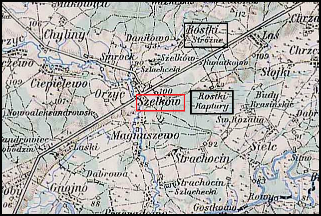
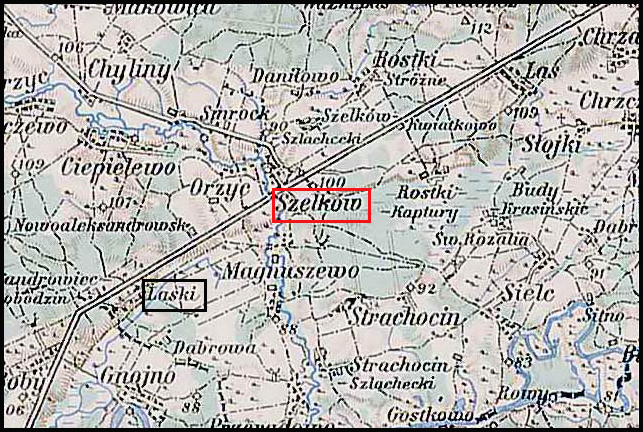
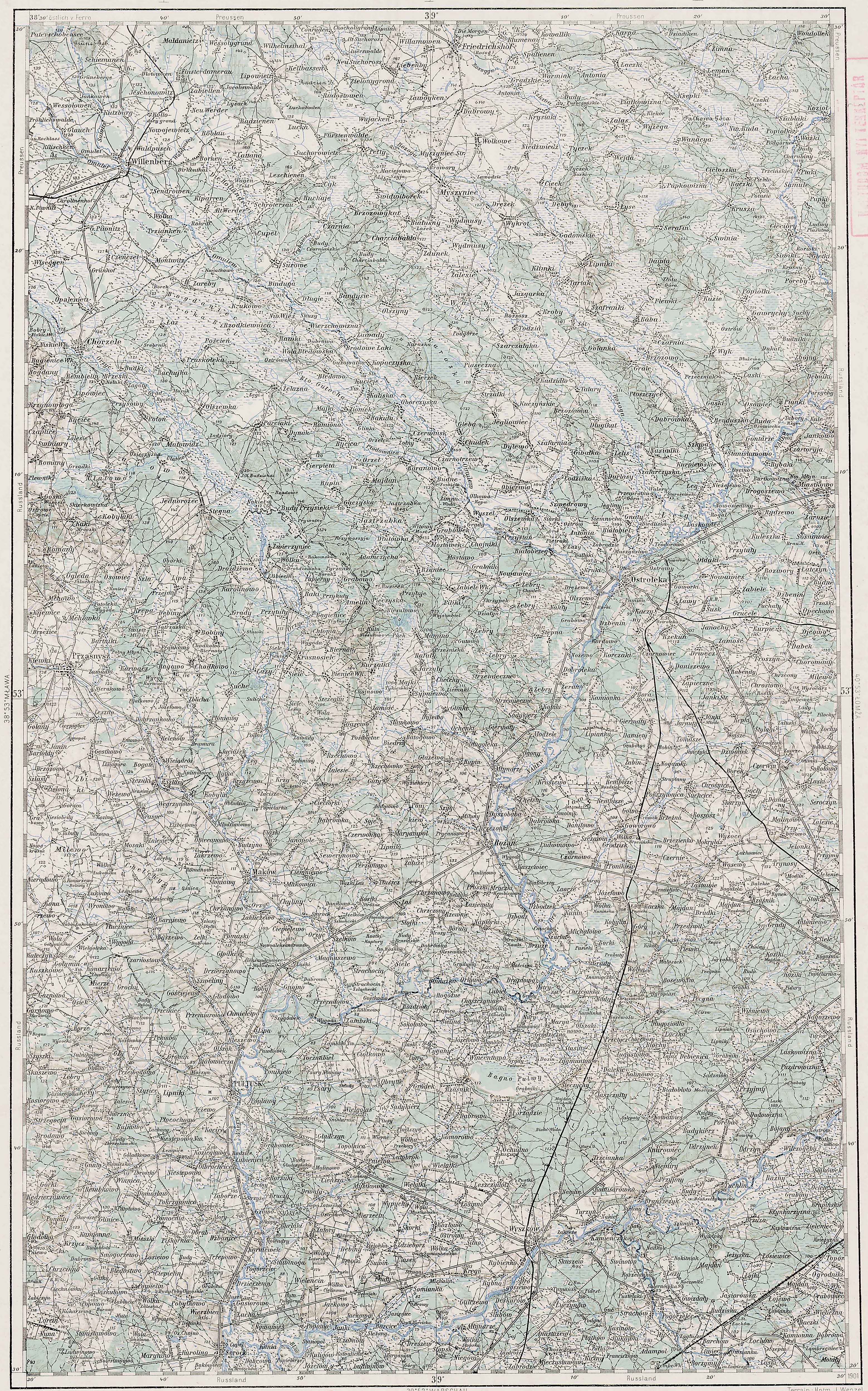
Rostki-Kaptury, Rostki-Stróżne, and Surrounding Area – 1910
Third Military Mapping Survey of Austria-Hungary (ELTE Faculty of Informatics, Institute of Cartography and Geoinformatics); digital images, Lazarus ELTE (http://lazarus.elte.hu/hun/digkonyv/topo/200e/39-53.jpg: accessed 20 December 2025)
Source: Chlebowski, Bronisław and Władysław Walewski, eds., Słownik Geograficzny Królestwa Polskiego i Innych Krajów Słowiańskich (Geographical Dictionary of the Kingdom of Poland and other Slavonic Countries) – Warsaw 1888, Volume IX, page 796-797.
Click on the link for a PDF copy of the the Słownik Geograficzny entries for Rostki-Kaptury and Rostki-Stróżne. Translated from the Polish, the entries read:
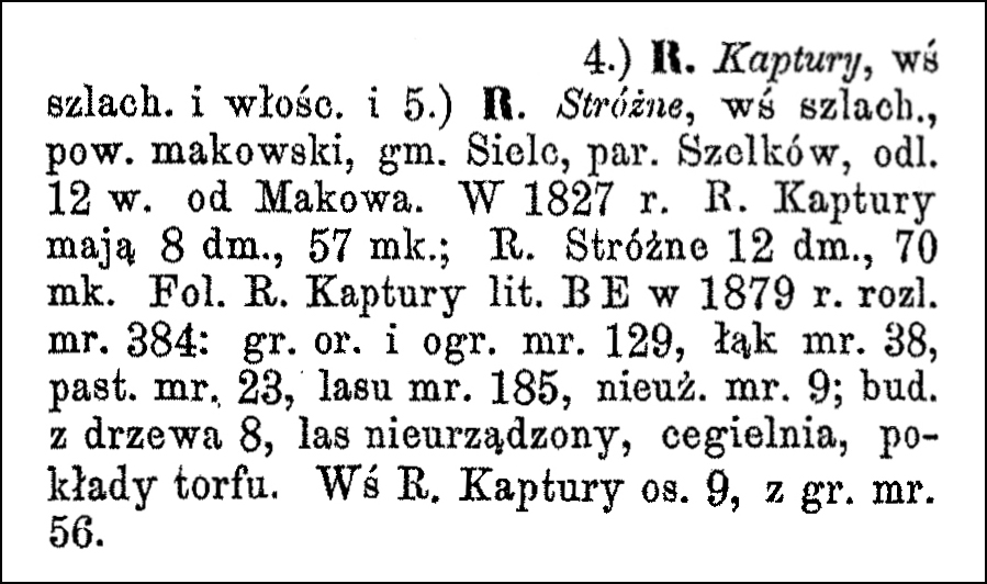
4.) Rostki Kaptury, a village of nobility and peasants, and 5.) Rostki Stróżne, a village of nobility, Maków powiat, Sielc gmina, Szelków parish, 12 versts [1 verst = 1.07 kilometers] from Maków. In 1827, Rostki Kaptury had 8 houses and 57 inhabitants; Rostki Stróżne had 12 houses and 70 inhabitants. The Rostki Kaptury estate (letter BE) in 1879 had an area of 384 mórgs [Gerald Ortell’s book on Polish Parish Records states that in the Russian partition 1 mórg = 1.388 acres]: arable land and gardens 129 mórgs, meadows 38 mórgs, pastures 23 mórgs, forest 185 mórgs, uncultivated land 9 mórgs; 8 wooden buildings, unmanaged forest, brickyard, peat deposits. The village of R. Kaptury had 9 settlements, with an area of 56 mórgs.
The Dictionary of Polish Place Names (Nazwy Miejscowe Polski) explains the origin of place names in Poland and details how the place name changed over time.
Volume XIV of Nazwy Miejscowe Polski lists one place called Smrock. This entry is for a village currently in the Masovian Voivodeship and which belongs to the Szelków parish. Today, the village of Smrock is two villages: Smrock-Dwór and Smrock-Kolonia.
Nazwy Miejscowe Polski indicates that Smrock was in the Szelków Gmina, Ostrołęka Voivodeship in the years 1975-1998, and is 4 kilometers southeast of Maków Mazowiecki. Mentions of the village include Smroczko in 1402, Smroczszko in (1424) 1456, Smroczko, Smoroczsko in 1426, Smroczsko in (1442) 1456, Szmroczsk in 1465, villa nostra ducali Szmroczko in 1465, Smroczko in 1482, Smroczek in 1484, Szmroczsko in 1496, Smroczko, Smroczki in 1508, Smroczk in 1511, Smroczko in 1532, Smroczk in 1546, przy wsi Smroczku, Smroczk in (1565), Smroczko Regia in 1582, Smroczku, przy wsi Smroczkowie, Smroczk, Smroczko in 1617, Smrock in 1783, 1827, and 1889, Smrock, wś, kol. in 1921, Smrock Dwór, Smrock Kolonia in 1952, and Smrock-Dwór, -ka-Dworu, Smrock-Kolonia, -ka-nii, smrocki in 1971.
Originally called Smroczsko from the name of a settlement Smrok (compare zmrok) or perhaps from the variant name of the spruce tree smrok, with the suffix -sko or -sk. The names Smoroczsko, Smroczek, Smroczk, and Smroczki were used until the name Smrock became established.
Source: Rymut, Kazimierz, Barbara Czopek-Kopciuch, and Urszula Bijak, eds., Nazwy Miejscowe Polski (Place Names of Poland) – Krakow 2017, Volume XIV, pages 191-192.
Click the link for a PDF copy of the Nazwy Miejscowe Polski entry for Smrock. Translated rom the Polish, the entry reads:
Smrock, today Smrock-Dwór and Smrock-Kolonia, two villages, Ostrołęka voivodeship, Szelków gmina, 4 km southeast of Maków Mazowiecki: Smroczko 1402 SHGMz (WAP 868); Smroczszko (1424) 1456 SHGMz (MK 3, 38); Smroczko, Smoroczsko 1426 MkM I nr 397; Smroczsko (1442) 1456 SHGMz (MK 3, 275); Szmroczsk 1465 SHGMz (Ep. 9, 190); villa nostra ducali Szmroczko 1465 HMil 51; Smroczko 1482, Smroczek 1484 SHGMz (Ep. 11, 259 and 81); Szmroczsko 1496 SHGMz (MK 9, 204v); Smroczko, Smroczki 1508 SHGMz (Ep. 16, 295v); Smroczk 1511 SHGMz (PT 1, 493v); Smroczko 1532 Matr IV/2, nr 16261; Smroczk 1546 Matr IV/1, nr 7774; near the village of Smroczek, Smroczk (1565) Lumaz II 139, 144; Smroczko Regia 1582 ŹDz XVI 392; … Smroczku, near the village of Smroczkowie, Smroczk, Smroczko 1617 Lumaz I 77, 79, 84, 87; Smrock 1783 MpPerMz; Smrock 1827 Tabella II 185; Smrock 1889 SG X 923; Smrock, village, settlement 1921 Sk I 77; Smrock Dwór, Smrock Kolonia 1952 UW 15; Smrock-Dwór, -ka-Dworu, Smrock-Kolonia, -ka-nii, smrocki 1971 UN 129, 18, 47. — Originally *Smroczsko, from from the name of a settlement Smrok (cf. zmrok) RymSEN II 744 or perhaps from the variant name of the spruce tree smrok, with the suffix -sko, secondarily -sk. Ephemerally Smoroczsko, Smroczek, Smroczk, Smroczki; the form Smrock became established. Lit.: ZMaz 341. Urszula Bijak
The Słownik Geograficzny Królestwa Polskiego i Innych Krajów Słowiańskich (Geographical Dictionary of the Kingdom of Poland and other Slavonic Countries) includes two entries for Polish villages called Smrock, both of them for the same village belonging to the parish of Szelków.
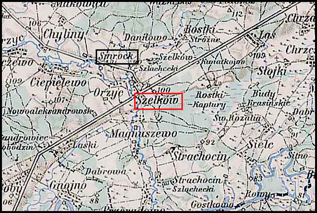
Smrock and Surrounding Area – 1910
Third Military Mapping Survey of Austria-Hungary (ELTE Faculty of Informatics, Institute of Cartography and Geoinformatics); digital images, Lazarus ELTE (http://lazarus.elte.hu/hun/digkonyv/topo/200e/39-53.jpg: accessed 20 December 2025)
Source: Chlebowski, Bronisław and Władysław Walewski, eds., Słownik Geograficzny Królestwa Polskiego i Innych Krajów Słowiańskich (Geographical Dictionary of the Kingdom of Poland and other Slavonic Countries) – Warsaw 1889, Volume X, page 923
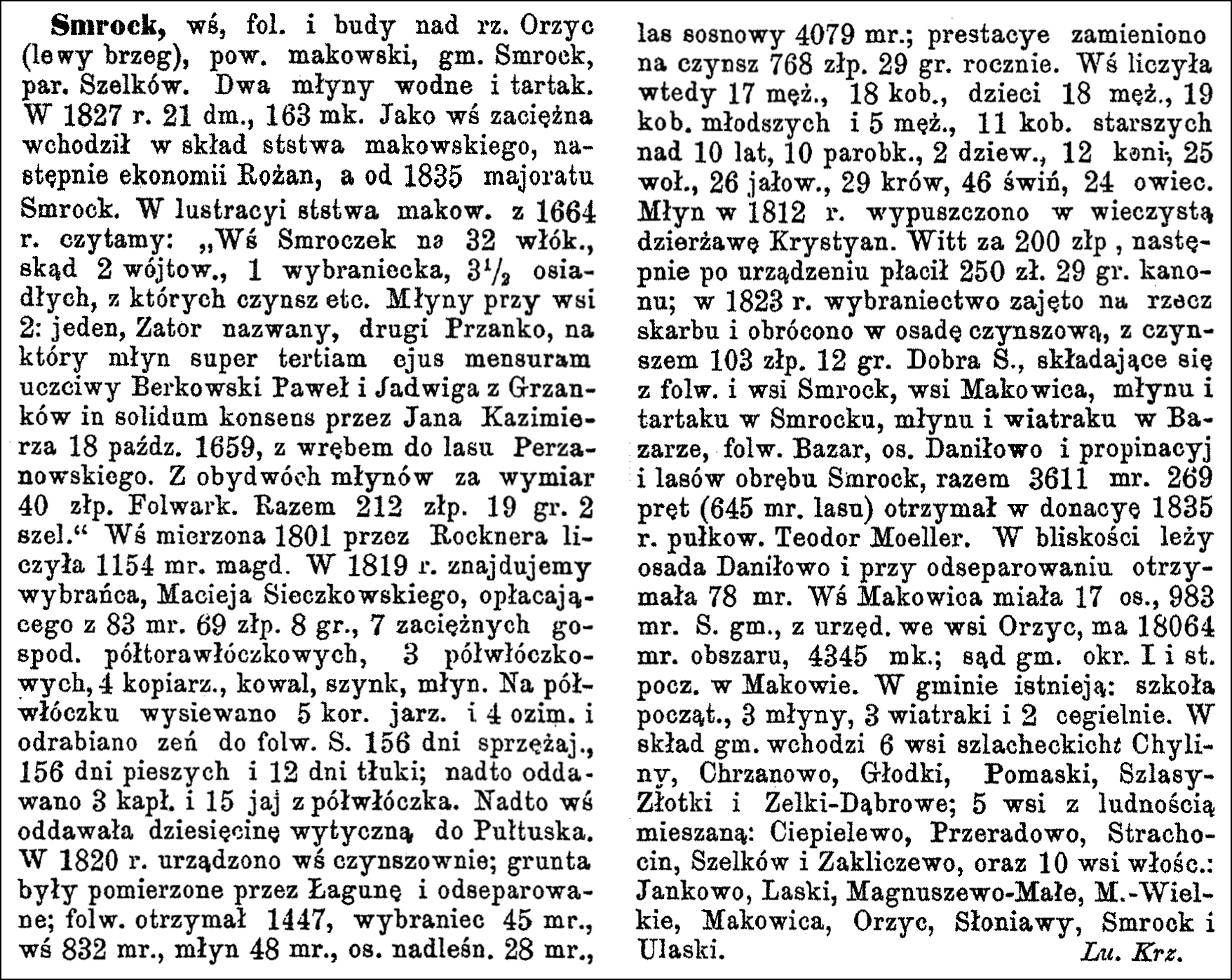
Click on the link for a PDF copy of the the Słownik Geograficzny entry for Smrock. Translated from the Polish, the first entry reads:
Smrock, a village, manor, and hamlet on the Orzyc River (left bank), Maków powiat, Smrock gmina, Szelków parish. Two watermills and a sawmill. In 1827, it had 21 houses and 163 inhabitants. As a leased village, it was part of the Maków starosty, then the Rożan estate, and from 1835 the Smrock majorate. In the 1664 inspection of the Maków starosty, we read: “The village of Smroczek has 32 włóki [1 włóka = 30 mórgs; Gerald Ortell’s book on Polish Parish Records states that in the Russian partition 1 mórg = 1.388 acres], from which 2 belong to the village headmen, 1 to a chosen representative, and 3½ are permanently resident, from which rent, etc. Two mills near the village: one called Zator, the other Przanko, for which mill, according to its third measurement, the honorable Paweł Berkowski and Jadwiga née Grzanka received a joint consent from John Casimir on October 18, 1659, with the right to timber from the Perzanowski forest. From both mills, the rent is 40 Polish złotys. Manor house. Total 212 Polish złotys 19 groszy, 2 shelags [a shelag is an old Polish coin.]” The village, measured in 1801 by Rockner, comprised 1154 Magdeburg mórgs. In 1819, we find the chosen representative, Maciej Sieczkowski, paying 69 złotys and 8 groszy for 83 mórgs for 7 hired farmhands working 1 ½ włóka each, 3 hired farmhands working ½ włóka each, 4 copyists, a blacksmith, a tavern, and a mill. On a ½ włóka field, 5 bushels of spring grain and 4 bushels of winter grain were sown, and 156 days of teamwork, 156 days of manual labor, and 12 days of threshing were performed for the manor. In addition, 3 capons and 15 eggs were given from each ½ włóka. Furthermore, the village paid a tithe to Pułtusk. In 1820, the village was reorganized into a rent-paying system; the lands were measured by Łaguna and separated; the manor received 1447 mórgs, the representative 45 mórgs, the village 832 mórgs, the mill 48 mórgs, the forester’s settlement 28 mórgs, and the pine forest 4079 mórgs; the services were converted into an annual rent of 768 złotys and 29 groszy. At that time, the village had 17 men, 18 women, 18 boys and 19 girls under 10 years old, 5 men and 11 women over 10 years old, 10 farmhands, 2 maids, 12 horses, 25 oxen, 26 heifers, 29 cows, 46 pigs, and 24 sheep. The mill was leased in perpetuity in 1812 to Krystyan Witt for 200 złotys, and after the reorganization, he paid 250 złotys and 29 groszy in rent; in 1823 the chosen estate was confiscated by the treasury and converted into a leasehold settlement, with a rent of 103 Polish złotys and 12 groszy. The Smrock estate, consisting of the Smrock manor and village, the village of Makowica, a mill and sawmill in Smrock, a mill and windmill in Bazar, the Bazar manor, the Daniłowo settlement, and the Smrock forest district, totaling 3611 mórgs and 269 rods (645 mórgs of forest), was granted in 1835 to Colonel Teodor Moeller. The Daniłowo settlement is located nearby and, upon separation, received 78 mórgs. The village of Makowica had 17 inhabitants and 983 mórgs. The Smrock gmina, with its office in the village of Orzyc, has an area of 18064 mórgs and 4345 inhabitants; the district court and post office are in Maków. The gmina includes: a primary school, 3 mills, 3 windmills, and 2 brickyards. The gmina comprises 6 noble villages: Chyliny, Chrzanowo, Głodki, Pomaski, Szlasy Złotki, and Zelki-Dąbrowo; 5 villages with mixed population: Ciepielewo, Przeradowo, Strachocin, Szelków, and Zakliczewo, and 10 peasant villages: Jankowo, Laski, Magnuszewo-Małe, Magnuszew.-Wielkie, Makowica, Orzyc, Słoniawy, Smrock, and Ulaski. Lu. Krz.
Source: Chlebowski, Bronisław, ed., Słownik Geograficzny Królestwa Polskiego i Innych Krajów Słowiańskich (Geographical Dictionary of the Kingdom of Poland and other Slavonic Countries) – Warsaw 1902, Volume XV Part II, Page 600
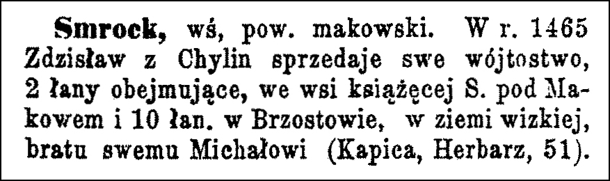
Translated from the Polish, the second entry reads:
Smrock, a village in the Maków powiat. In 1465, Zdzisław of Chylin sold his Vogtship, comprising 2 lans [1 lan = 30 mórgs; Gerald Ortell’s book on Polish Parish Records states that in the Russian partition 1 mórg = 1.388 acres] in the ducal village of Smrock near Maków and 10 lans in Brzostów in the Wizna region to his brother Michał (Kapica, Herbarz, 51).
The Dictionary of Polish Place Names (Nazwy Miejscowe Polski) explains the origin of place names in Poland and details how the place name changed over time.
Volume VI of Nazwy Miejscowe Polski lists several places called Laski. The 14th entry is for a village currently in the Masovian Voivodeship and which belongs to the Szelków parish.
Nazwy Miejscowe Polski indicates that Laski was in the Szelków Gmina, Ostrołęka Voivodeship in the years 1975-1998, and is 8 kilometers southeast of Maków Mazowiecki. Mentions of the village include Lasky in 1402, Lasky in 1427, Laszky in 1448, Lasky in 1507 and 1525, Laszki in 1512, Liaski in 1582, Laski in 1784, Laski in 1827, Łaski (!) in 1839, Las or Łaz, and Laski in 1884, Laski in 1901, and Laski, Lask, laskowski in 1971.
The village’s location near a forest indicates the topographical nature of the toponym.
Source: Rymut, Kazimierz, ed., Nazwy Miejscowe Polski (Place Names of Poland) – Krakow 2005, Volume VI, page 18.
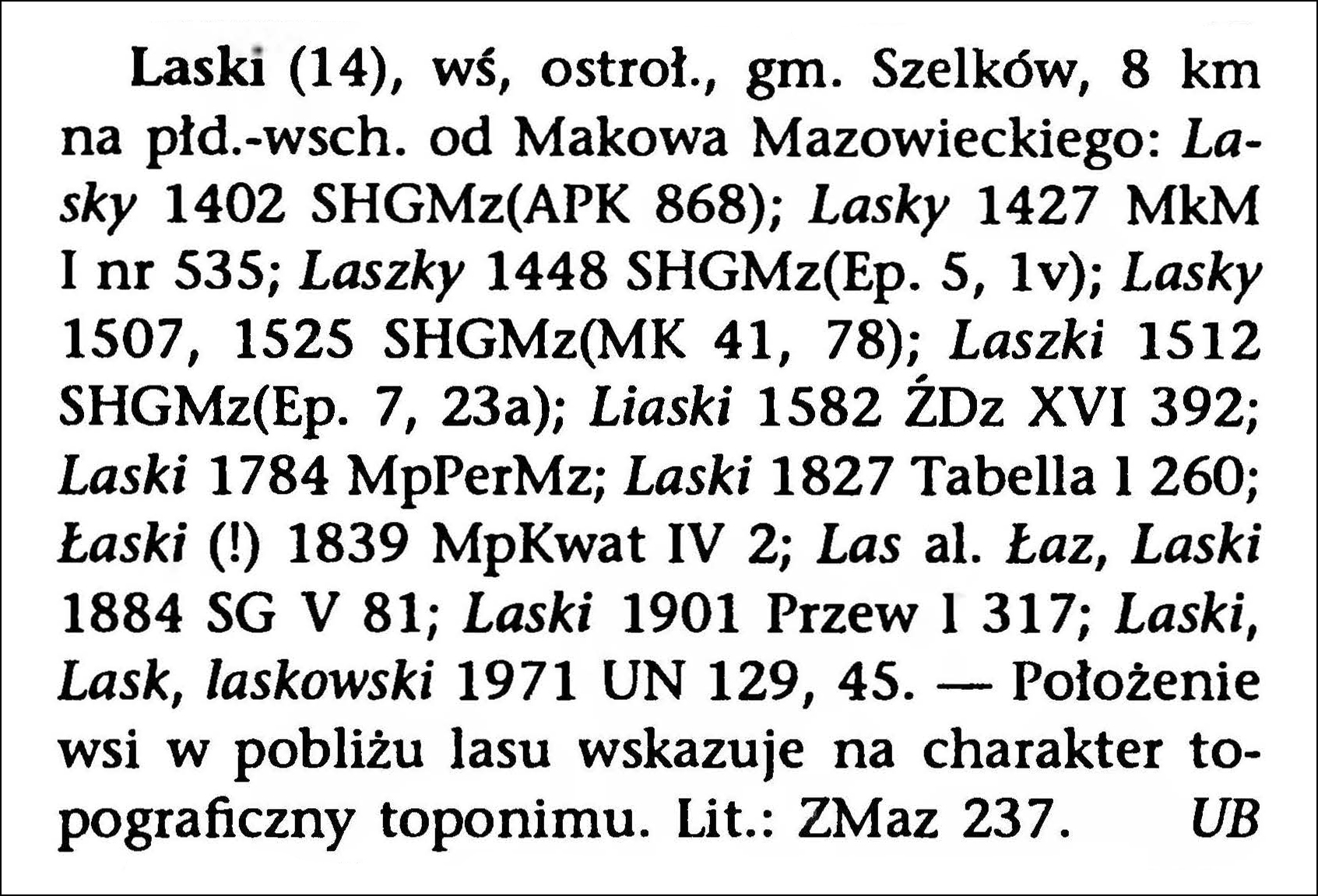
Click the link for a PDF copy of the Nazwy Miejscowe Polski entry for Laski. Translated from the Polish, the entry reads:
Laski (14), village, Ostrołęka voivodeship, Szelków gmina, 8 km south-east of Maków Mazowiecki: Lasky 1402 SHGMz (APK 868); Lasky 1427 MkM I No. 535; Laszky 1448 SHGMz (Ep. 5, 1v); Lasky 1507, 1525 SHGMz (MK 41, 78); Laszki 1512 SHGMz (Ep. 7, 23a); Liaski 1582 ŹDz XVI 392; Laski 1784 MpPerMz; Laski 1827 Tabella I 260; Łaski (!) 1839 MpKwat IV 2; Las al. Łaz, Laski 1884 SG V 81; Laski 1901 Przew l 317; Laski, Lask, laskowski 1971 UN 129, 45. – The village’s location near a forest indicates the topographical nature of the toponym. Lit.: ZMaz 237. Urszula Bijak
The Słownik Geograficzny Królestwa Polskiego i Innych Krajów Słowiańskich (Geographical Dictionary of the Kingdom of Poland and other Slavonic Countries) includes multiple entries for Polish villages called Laski, but only one belonging to the parish of Szelków.
Laski and Surrounding Area – 1910
Third Military Mapping Survey of Austria-Hungary (ELTE Faculty of Informatics, Institute of Cartography and Geoinformatics); digital images, Lazarus ELTE (http://lazarus.elte.hu/hun/digkonyv/topo/200e/39-53.jpg: accessed 20 December 2025)
Source: Sulmierski, Filip, Bronisław Chlebowski, and Władysław Walewski, eds., Słownik Geograficzny Królestwa Polskiego i Innych Krajów Słowiańskich (Geographical Dictionary of the Kingdom of Poland and other Slavonic Countries) – Warsaw 1884, Volume V, page 84.
Click on the link for a PDF copy of the the Słownik Geograficzny entry for Laski. Translated from the Polish, the entry reads:
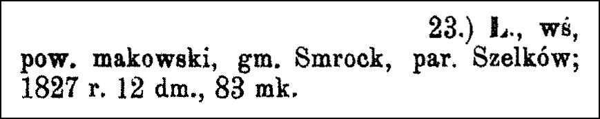
23.) Laski, a village in Maków County, Smrock commune, Szelków parish; in 1827 it had 12 houses and 83 inhabitants.
The Słownik Geograficzny Królestwa Polskiego i Innych Krajów Słowiańskich (Geographical Dictionary of the Kingdom of Poland and other Slavonic Countries) includes one entry for a Polish village called Rozalia Święta belonging to the parish of Szelków.
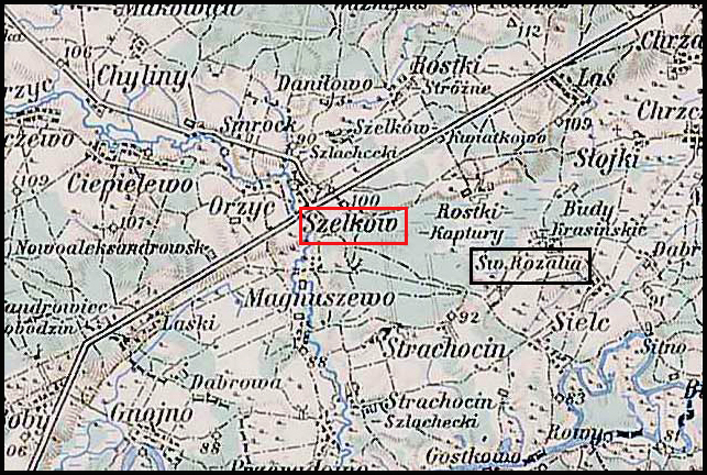
Święta Rozalia and Surrounding Area – 1910
Third Military Mapping Survey of Austria-Hungary (ELTE Faculty of Informatics, Institute of Cartography and Geoinformatics); digital images, Lazarus ELTE (http://lazarus.elte.hu/hun/digkonyv/topo/200e/39-53.jpg: accessed 20 December 2025)
Source: Chlebowski, Bronisław and Władysław Walewski, eds., Słownik Geograficzny Królestwa Polskiego i Innych Krajów Słowiańskich (Geographical Dictionary of the Kingdom of Poland and other Slavonic Countries) – Warsaw 1888, Volume IX, page 827.
Click on the link for a PDF copy of the the Słownik Geograficzny entry for Święta Rozalia. Translated from the Polish, the entry reads:
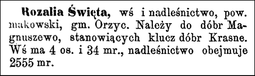
Rozalia Święta, a village and forestry district in Maków Powiat, Orzyc gmina. It belongs to the Magnuszewo estate, which forms part of the Krasne estate complex. The village has 4 inhabitants and covers 34 mórgs [Gerald Ortell’s book on Polish Parish Records states that in the Russian partition 1 mórg = 1.388 acres], while the forestry district covers 2555 mórgs.
The Dictionary of Polish Place Names (Nazwy Miejscowe Polski) explains the origin of place names in Poland and details how the place name changed over time.
Volume X of Nazwy Miejscowe Polski lists several place called Sielc. The third entry is for a village currently in the Masovian Voivodeship and which belongs to the Szelków parish.
Nazwy Miejscowe Polski indicates that Sielc is now two villages, Nowy Sielc and Stary Sielc, was in the Rzewnie Gmina, Ostrołęka Voivodeship in the years 1975-1998, and is 12.5 kilometers southeast of Różan. Mentions of the village include Syedlecz, Sedlecz in (1421) 1456, Szedlecz in 1428, Syedlecz, Sedlecz in 1431, Syedlecz in 1480, Zedlecz in (1502) 1517, Sielcz in 1582, Sielce in 1783, Sielc in 1827, Sielc in 1839, Sielc Nowy, Sielc Stary in 1889, and Nowy Sielc, -wego -ca, nowosielecki, Stary Sielc, -rego -ca, starosielecki in 1971.
Currently, Sielc consists of two villages with names containing differentiating elements derived from the adjectives nowy [new] and stary [old].
Source: Rymut, Kazimierz, Barbara Czopek-Kopciuch, and Urszula Bijak, eds., Nazwy Miejscowe Polski (Place Names of Poland) – Krakow 2016, Volume XIII, page 150.
Click the link for a PDF copy of the Nazwy Miejscowe Polski entry for Sielc. Translated from the Polish, the entry reads:
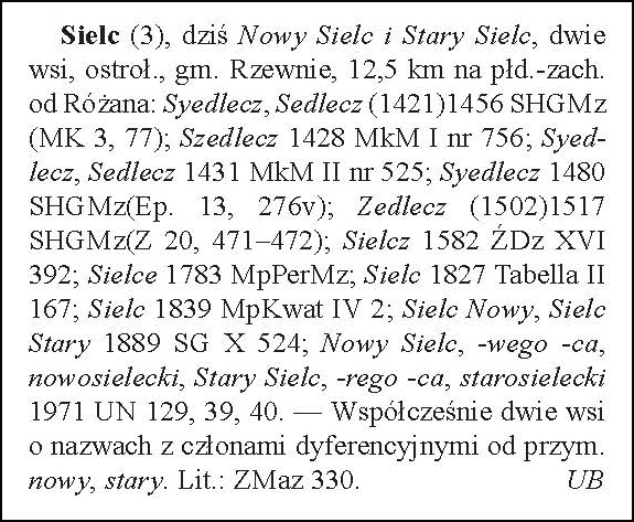
Sielc (3), today Nowy Sielc and Stary Sielc, two villages, Ostrołęka voivodeship, Rzewnie gmina, 12.5 kilometers southwest of Różan: Syedlecz, Sedlecz (1421) 1456 SHGMz (MK 3, 77); Szedlecz 1428 MkM I no. 756; Syedlecz, Sedlecz 1431 MkM II no. 525; Syedlecz 1480 SHGMz (Ep. 13, 276v); Zedlecz (1502) 1517 SHGMz (Z 20, 471–472); Sielcz 1582 ŹDz XVI 392; Sielce 1783 MpPerMz; Sielc 1827 Tabella II 167; Sielc 1839 MpKwat IV 2; Sielc Nowy, Sielc Stary 1889 SG X 524; Nowy Sielc, -wego -ca, nowosielecki, Stary Sielc, -rego -ca, starosielecki 1971 UN 129, 39, 40. — Currently two villages with names containing differentiating elements derived from the adjectives nowy [new] and stary [old]. Lithuanian: ZMaz 330. Urszula Bijak
The Słownik Geograficzny Królestwa Polskiego i Innych Krajów Słowiańskich (Geographical Dictionary of the Kingdom of Poland and other Slavonic Countries) includes many entries for Polish villages called Las. The one numbered 13 belongs to the parish of Szelków.
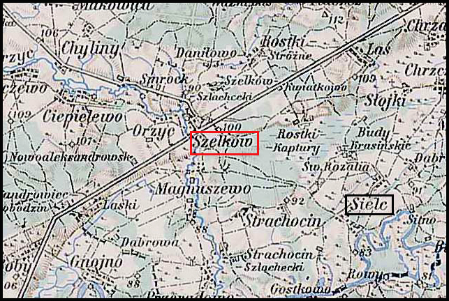
Sielc and Surrounding Area – 1910
Third Military Mapping Survey of Austria-Hungary (ELTE Faculty of Informatics, Institute of Cartography and Geoinformatics); digital images, Lazarus ELTE (http://lazarus.elte.hu/hun/digkonyv/topo/200e/39-53.jpg: accessed 20 December 2025)
Source: Chlebowski, Bronisław and Władysław Walewski, eds., Słownik Geograficzny Królestwa Polskiego i Innych Krajów Słowiańskich (Geographical Dictionary of the Kingdom of Poland and other Slavonic Countries) – Warsaw 1889, Volume X, page 524.
Click on the link for a PDF copy of the the Słownik Geograficzny entry for Sielc. Translated from the Polish, the entry reads:
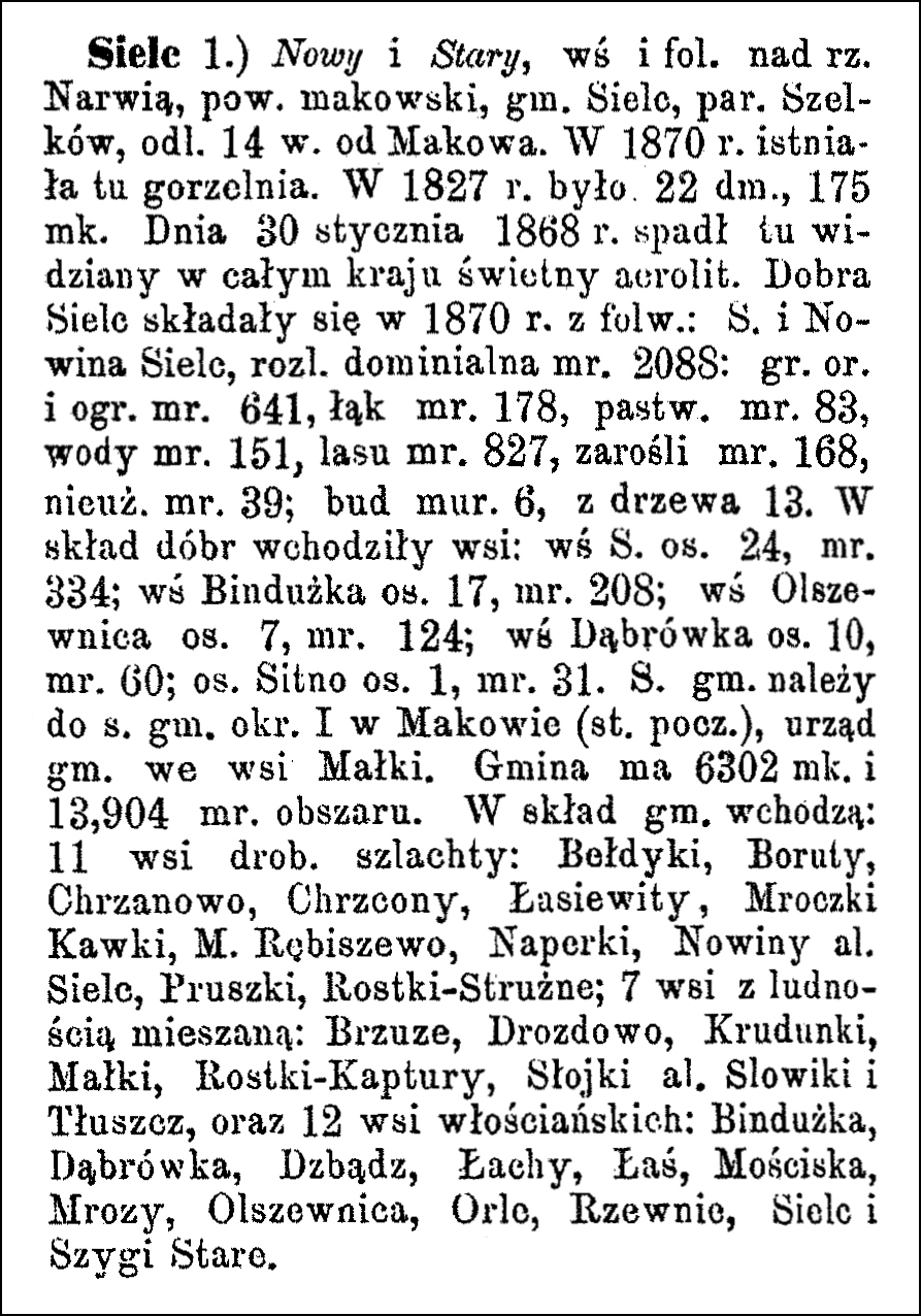
Sielc 1.) Nowy and Stary, a village and manor on the Narew River, Maków powiat, Sielc gmina, Szelków parish, 14 kilometers from Maków. In 1870, there was a distillery here. In 1827, there were 22 houses and 175 inhabitants. On January 30, 1868, a brilliant meteorite, visible throughout the country, fell here. The Sielc estate consisted in 1870 of the manors of Sielc and Nowina Sielc, with a total area of 2088 mórgs [Gerald Ortell’s book on Polish Parish Records states that in the Russian partition 1 mórg = 1.388 acres]: arable land and gardens 641 mórgs, meadows 178 mórgs, pastures 83 mórgs, water 151 mórgs, forest 827 mórgs, thickets 168 mórgs, uncultivated land 39 mórgs; 6 brick buildings, 13 wooden buildings. The estate included the following villages: Sielc village, 24 inhabitants, 334 morgens; Bindużka village, 17 inhabitants, 208 mórgs; Olszewnica village, 7 inhabitants, 124 mórgs; Dąbrówka village, 10 inhabitants, 60 mórgs; Sitno settlement, 1 inhabitant, 31 mórgs. Sielc gmina belongs to the 1st gmina district in Maków (post office), the gmina office is in the village of Małki. The gmina has 6302 inhabitants and 13,904 mórgs of area. The gmina includes: 11 villages of minor nobility: Bełdyki, Boruty, Chrzanowo, Chrzcony, Łasiewity, Mroczki Kawki, Mroczki Rębiszewo, Naperki, Nowiny or Sielc, Pruszki, Rostki-Strużne; 7 villages with a mixed population: Brzuze, Drozdowo, Krudunki, Małki, Rostki-Kaptury, Słojki or… Słowiki and Tłuszcz, and 12 peasant villages: Bindużka, Dąbrówka, Dzbądz, Łachy, Łaś, Mościska, Mrozy, Olszewnica, Orle, Rzewnio, Sielc and Szygi Stare.
The Dictionary of Polish Place Names (Nazwy Miejscowe Polski) explains the origin of place names in Poland and details how the place name changed over time.
Volume VI of Nazwy Miejscowe Polski lists one place called Łaś, a village currently in the Masovian Voivodeship.
Nazwy Miejscowe Polski indicates that Łaś was in the Rzewnie Gmina, Ostrołęka Voivodeship in the years 1975-1998, and is 8.5 kilometers southeast of Różan. Mentions of the village include Lassy in (1414-25)1456, versus Lassy in 1426, about Lasche in 1427, Lassy in (1442)1456, about Lasz in 1476, Lasche in 1480, Laszy in 1511, Lasch 1512, village of Łasz in (1565), Royal Lasz in 1582, village of Łaś in 1617, Las in 1783, Łaś in 1827, Łas in 1884, Łaś in 1952, and Łaś, -si, Łaśki in 1971.
The name of the village is probably from the name of a settlement Łas(z), in the first plural, and secondarily Łasz//Łas//Łaś – singularization with mixing of consonant series.
Source: Rymut, Kazimierz, ed., Nazwy Miejscowe Polski (Place Names of Poland) – Krakow 2005, Volume VI, page 284.
Click the link for a PDF copy of the Nazwy Miejscowe Polski entry for Łaś. Translated from the Polish, the entry reads:
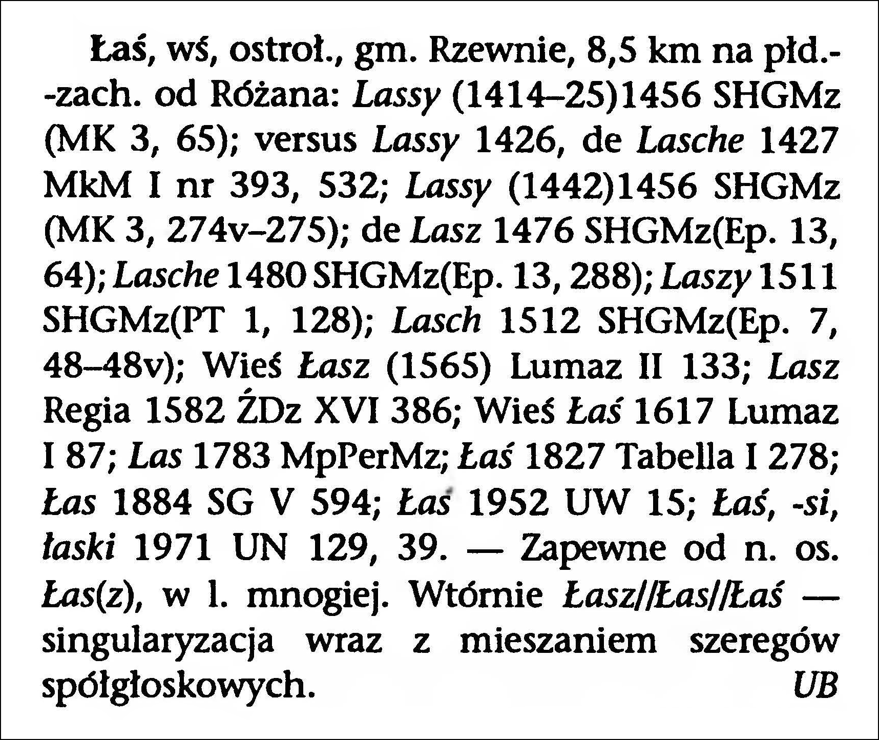
Łaś, village, Ostrołęka voivodeship., Rzewnie gmina, 8.5 km southwest of Różan: Lassy (1414-25)1456 SHGMz (MK 3, 65); versus Lassy 1426, about Lasche 1427 MkM I no. 393, 532; Lassy (1442)1456 SHGMz (MK 3, 274v-275); about Lasz 1476 SHGMz(Ep. 13, 64); Lasche 1480 SHGMz(Ep. 13, 288); Laszy 1511 SHGMz(PT 1, 128); Lasch 1512 SHGMz(Ep. 7, 48-48v); village of Łasz (1565) Lumaz II 133; Royal Lasz 1582 ŹDz XVI 386; village of Łaś 1617 Lumaz I 87; Las 1783 MpPerMz; Łaś 1827 Tabella I 278; Łas 1884 SG V 594; Łaś 1952 UW 15; Łaś, -si, Łaśki 1971 UN 129, 39. – Probably from the name of a settlement Łas(z), in the first plural. Secondarily Łasz//Łas//Łaś – singularization with mixing of consonant series. Urszula Bijak


