In 2010, I wrote a series of articles on Describing Place Names in Poland. Because the borders and the administrative divisions in Poland changed so often throughout history, some genealogists may be tempted to simply enter the name of the village, town, or city where their ancestors lived followed by “Poland”. Others may decide to provide some detail to the place names by using the administrative divisions as they exist today or by using the administrative divisions as they existed at only one point in history (e.g. at the time when one specific gazetteer or map was created). To be historically accurate, the genealogist should provide the administrative divisions as they existed at the time of the event described. Recently, a genealogist friend mentioned that she was having difficulty finding the names of the powiats in which her ancestral villages were located and so I am writing this article on Identifying Administrative Divisions in Poland.
Because of the complexities of the border changes throughout history, this article is restricted to the time period 1807-1918 and to the area that would become the Congress Kingdom of Poland. Because the Congress Kingdom of Poland was administered by Russia, it is commonly called Russian-Poland, although none of the territories it included were part of the Russian Partitions of Poland. All the territories in the Congress Kingdom of Poland were part of the Prussian Partition and the Austrian Partition.
09 July 1807 – 13 Oct 1809: Duchy of Warsaw
The Treaties of Tilsit signed between France and Russia on 07 July 1807 and between France and Prussia on 09 July 1807 established the Duchy of Warsaw from territories obtained by Prussia in the Partitions of Poland. Included were the former Prussian Kammerdepartments of South Prussia, East Prussia (except for the area around Białystok which was awarded to Russia), New Silesia, and part of the Kammerdepartment of West Prussia (Kulmerland and part of Netzedistrikt).
The administrative structure of the Duchy of Warsaw can be expressed as follows: name of city or village, powiat, department, nation.
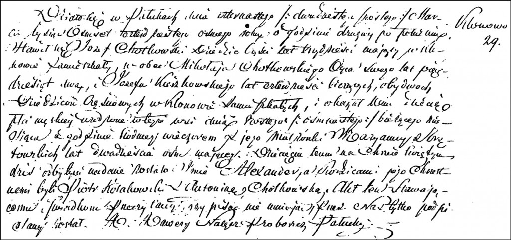
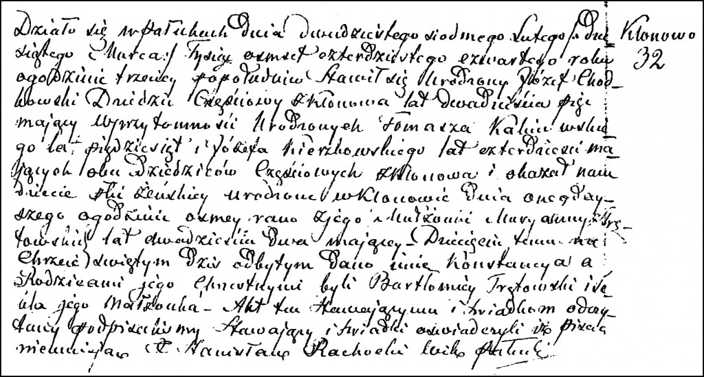
For any given village, town, or city in the Duchy of Warsaw, the names of the powiat and department can usually be found in the civil registrations from that time period. Initially, there were six departments:
- Bydgoszcz
- Kalisz
- Łomża
- Płock
- Poznań
- Warsaw
14 Oct 1809 – 09 June 1815: Duchy of Warsaw
The administrative structure of the Duchy of Warsaw can be expressed as follows: name of city or village, powiat, department, nation. For any given parish in the Duchy of Warsaw, the names of the powiat and department can usually be found in the civil registrations from that time period.
On 14 Oct 1809, four additional departments in the southeast were added to the Duchy of Warsaw from territories obtained by Austria in the Partitions of Poland (West Galicia and the Zamość Powiat of Galicia), for a total of ten departments:
- Bydgoszcz
- Kalisz
- Kraków
- Łomża
- Lublin
- Płock
- Poznań
- Radom
- Siedlce
- Warsaw
09 June 1815 – 15 January 1816: Congress Kingdom of Poland
The administrative structure during this time period can be expressed as follows: name of city or village, powiat, department, nation.
The powiats and departments remained the same as during the Duchy of Warsaw, except that the departments of Bydgoszcz and Poznań had been returned to Prussia, leaving a total of eight departments:
- Kalisz
- Kraków
- Łomża
- Lublin
- Płock
- Radom
- Siedlce
- Warsaw
16 January 1816 – 06 March 1837: Congress Kingdom of Poland
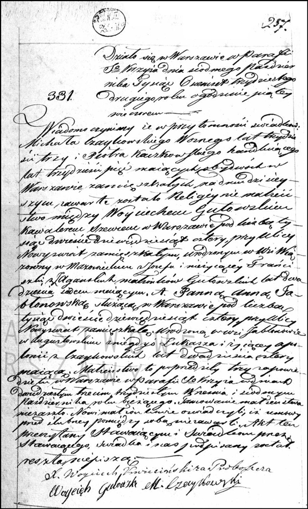
The administrative structure during this time period can be expressed as follows: name of city or village, obwód, voivodeship, nation.
Powiats and departments were now called obwóds and voivodeships, respectively. I have assumed that the names and boundaries of the powiats did not change when they became obwóds. At this point there were eight voivodeships:
- Augustów (formerly Łomża Department)
- Kalisz
- Kraków
- Lublin
- Mazowsze (formerly Warsaw Department, although some territory of the Warsaw Department was transferred to Płock)
- Płock
- Podlasie (formerly Siedlce Department)
- Sandomierz (formerly Radom Department).
07 March 1837 – 1841: Congress Kingdom of Poland
The administrative structure during this time period can be expressed as follows: name of city or village, obwód, gubernia, nation.
The structure remained the same as in 1816 – 1837, except that voivodeships were now called gubernias. I have assumed the boundaries and names of the obwóds remained the same as before.
1841-10 Nov 1842: Congress Kingdom of Poland
The administrative structure during this time period can be expressed as follows: name of city or village, obwód, gubernia, nation.
In 1841, the Kraków Gubernia was renamed the Kielce Gubernia. I have assumed the boundaries and names of the obwóds remained the same as before. The gubernias were now:
- Augustów
- Kalisz
- Kielce (formerly Kraków Gubernia)
- Lublin
- Mazowsze
- Płock
- Podlasie
- Sandomierz
11 Nov 1842 – 31 Dec 1844: Congress Kingdom of Poland
The administrative structure during this time period can be expressed as follows: name of city or village, powiat, gubernia, nation.
The structure remained the same as before, but the obwóds were now called powiats.
01 Jan 1845 – 30 Dec 1866: Congress Kingdom of Poland
The administrative structure during this time period can be expressed as follows: name of city or village, powiat, gubernia, nation.
This was a major reorganization of the administrative structure. After combining and renaming the gubernias, the five gubernias during this time period were:
- Augustów (the Augustów Gubernia remained unchanged)
- Lublin (the former Lublin and Podlasie Gubernias were combined)
- Płock (the Płock Gubernia remained unchanged)
- Radom (the former Radom and Kelce Gubernias were combined)
- Warsaw (the former Kalisz and Masovian Gubernias were combined)
31 Dec 1866 – 25 Dec 1893: Congress Kingdom of Poland
The administrative structure during this time period can be expressed as follows: name of city or village, powiat, gubernia, land, nation.
The former Warsaw Gubernia was split into the Warsaw and Płock Gubernias, the former Augustów Gubernia was split into the Suwalki and Łomża Gubernias, the former Lublin Gubernia was split into the Lublin and Siedlce Gubernias, the former Kalisz Gubernia was split into the Kalisz and Piotrków Gubernias, the former Radom Gubernia was split into the Radom and Kielce Gubernias. In 1879, the Górny Kalwarija Powiat was abolished and its territory was incorporated into the Grójec Powiat. The ten gubernias in this time period were:
- Kalisz (split from the former Kalisz Gubernia)
- Kielce (split from the former Radom Gubernia)
- Lublin (split from the former Lublin Gubernia)
- Łomża (split from the former Augustów Gubernia)
- Piotrków (split from the former Kalisz Gubernia)
- Płock (split from the former Warsaw Gubernia)
- Radom (split from the former Radom Gubernia)
- Siedlce (split from the former Lublin Gubernia)
- Suwalki (split from the former Augustów Gubernia)
- Warsaw (split from the former Warsaw Gubernia)
For the most part, the structure of the gubernias and powiats matches the 1907 Atlas geograficzny ilustrowany Królestwa Polskiego, except that in this time period Płonsk Powiat was part of the Płock Gubernia instead of the Warsaw Gubernia and Pułtusk Powiat was part of the Łomża Gubernia instead of the Warsaw Gubernia. See the 1907 General Map of the Kingdom of Poland for details.
26 Dec 1893 – 05 Jul 1912: Congress Kingdom of Poland
The administrative structure during this time period can be expressed as follows: name of city or village, powiat, gubernia, land, nation.
In 1893, Płonsk Powiat was transferred from the Płock Gubernia to the Warsaw Gubernia, and Pułtusk Powiat was transferred from the Łomża Gubernia to the Warsaw Gubernia. The 1907 maps of the Kingdom of Poland accurately represent the administrative divisions during this time period.
06 Jul 1912 – 17 Oct 1915: Congress Kingdom of Poland
The administrative structure during this time period can be expressed as follows: name of city or village, powiat, gubernia, land, nation.
In 1912, some territory from the eastern parts of the Lublin and Siedlce Gubernias was transferred to a newly formed Chełm Gubernia and the newly formed Chełm Gubernia itself was moved from the Congress Kingdom of Poland to the Southwestern Land of the Russian Empire. Except for this change, the names of the gubernias and powiats remained as before.
18 Oct 1915 – 10 Nov 1918: Congress Kingdom of Poland
The administrative structure during this time period can be expressed as follows: name of city or village, powiat, gubernia, nation.
In 1916, Germany and Austria-Hungary proclaimed that the former Congress Kingdom of Poland would now be free of Russian rule. The land had been secured in 1915, but the new borders were not declared until 05 November 1916. On 11 November 1918, the Congress Kingdom of Poland was disestablished when the Second Polish Republic was formed.
Copyright © 2011-2019 by Stephen J. Danko

