Evita Perón’s Final Resting Place, Buenos Aires

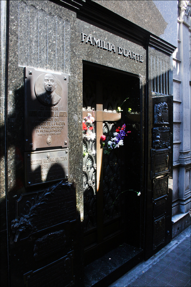
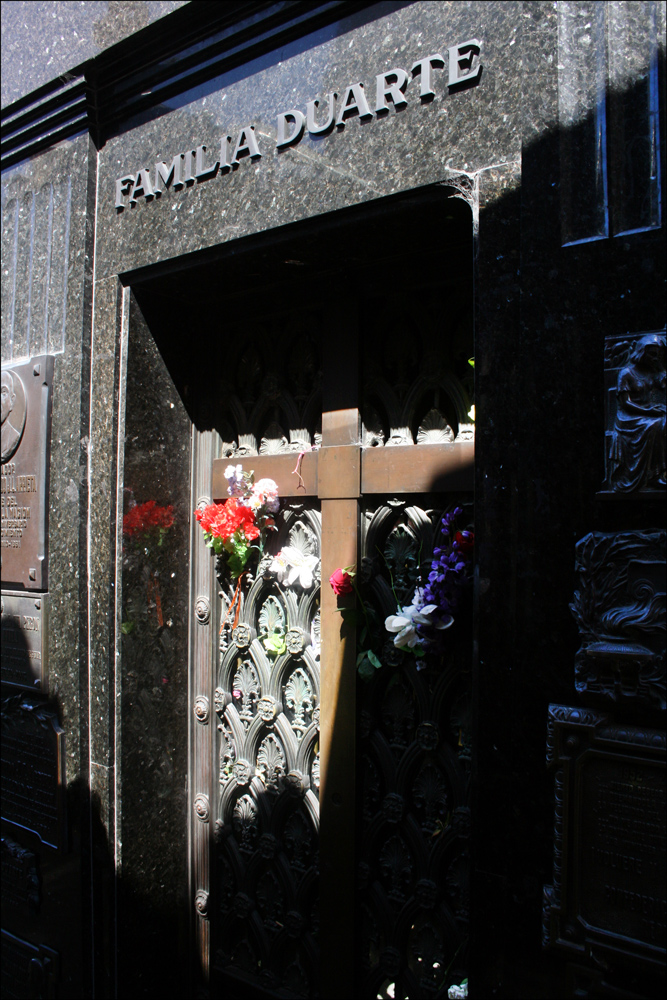
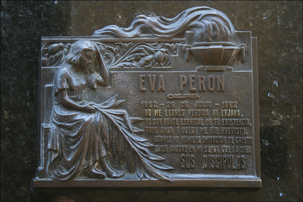
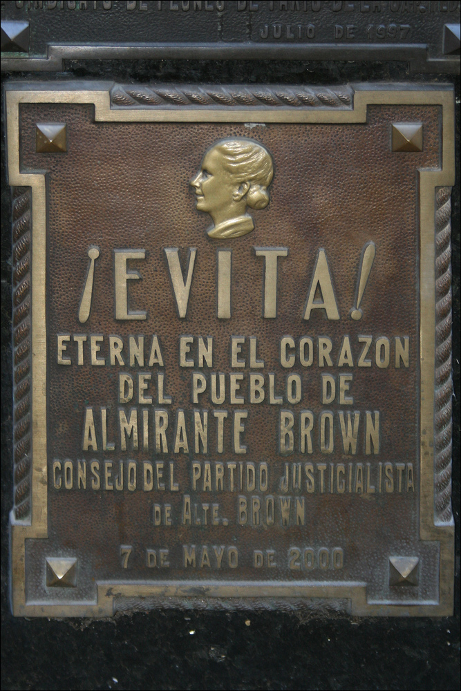
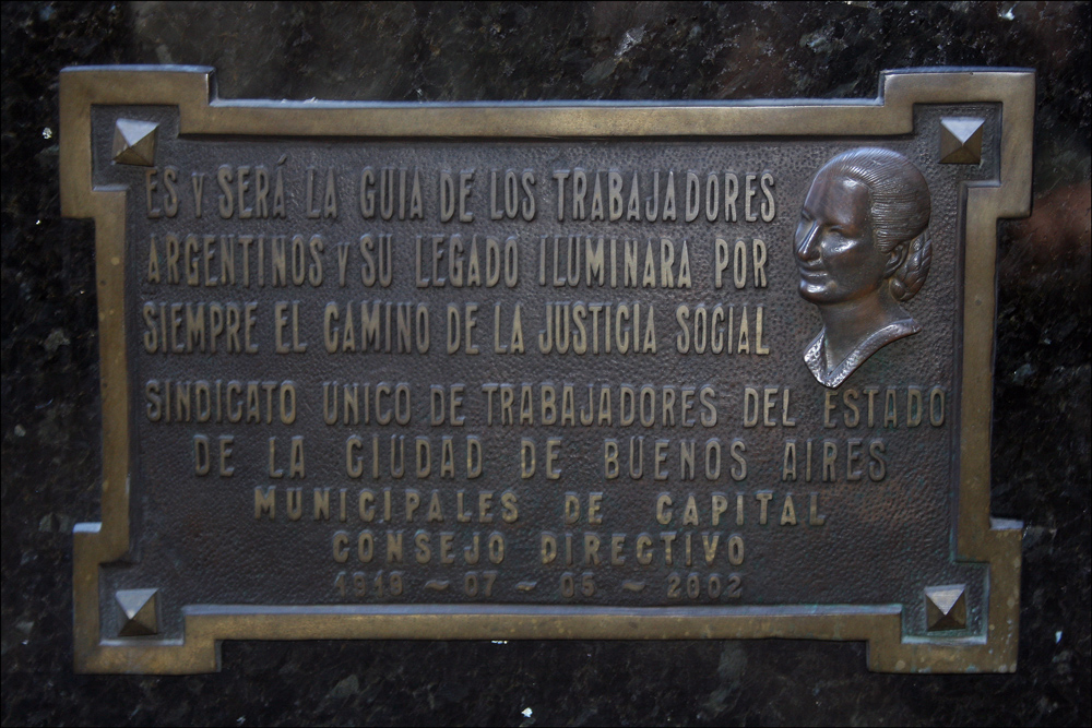
Eva Perón (1919-1952) is buried in Cementerio de la Recoleta along with many other famous Argentines .  However, her body was not always laid to rest there . Â After she died on 26 Jul 1952, her embalmed body was displayed in her former office in the CGT Building (Building of the General Confederation of Labor), awaiting the construction of a permanent memorial .  Unfortunately, her husband, President Juan Perón, was driven out of office in a military coup in 1955, and the new authorities removed Evita’s body to an unknown location .  Sixteen years later, in 1971, the military revealed that Evita’s body had been buried in a crypt in Milan, Italy under the name Marí­a Maggi .  In 1971, the body was exhumed and flown to the Perón home in Spain .  Evita’s body was kept in Spain until after Juan Perón’s death and was then returned to Argentina so that the bodies of Juan and Eva Perón could be displayed together .  Eventually, Evita’s body was interred in the Duarte Family Tomb in Recoleta Cemetery .  To ensure that Evita’s body would be secure, it was buried two levels underground .  Shown below are two views of the tomb and details of three of the plaques that adorn the tomb.

Duarte Family Tomb - 1

Duarte Family Tomb – 1

SOURCE:  Duarte Family Tomb – 1 (Buenos Aires, Argentina), photographed by Stephen J. Danko on 31 Dec 2010.

Duarte Family Tomb - 2

Duarte Family Tomb – 2

SOURCE:  Duarte Family Tomb – 2 (Buenos Aires, Argentina), photographed by Stephen J. Danko on 31 Dec 2010.

"Do Not Cry..."

“Do Not Cry…”

SOURCE: Â “Do Not Cry…” (Buenos Aires, Argentina), photographed by Stephen J. Danko on 31 Dec 2010.

"Forever in the Heart..."

“Forever in the Heart…”

SOURCE: Â “Forever in the Heart…” (Buenos Aires, Argentina), photographed by Stephen J. Danko on 31 Dec 2010.

"Path of Social Justice..."

“Path of Social Justice…”

SOURCE: Â “Path of Social Justice…” (Buenos Aires, Argentina), photographed by Stephen J. Danko on 31 Dec 2010.

Copyright © 2011 by Stephen J. Danko
Posted in Daily Journal | Tagged | 1 Comment

Cementerio de la Recoleta, Buenos Aires

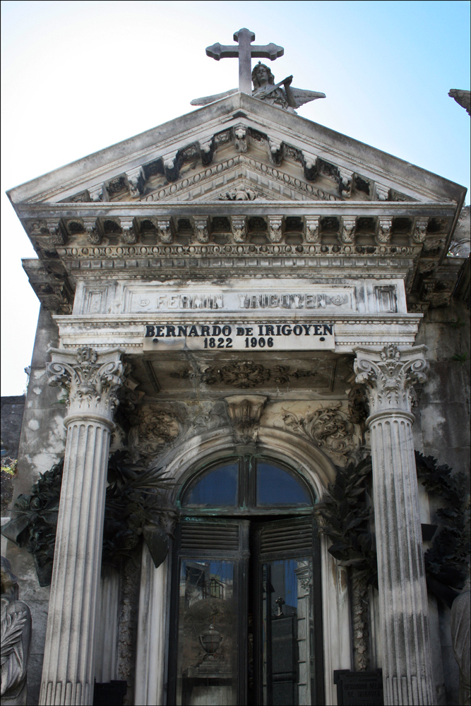
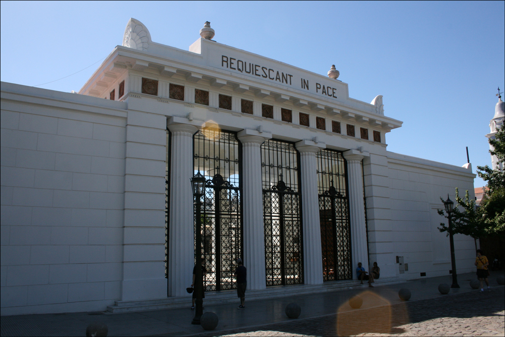
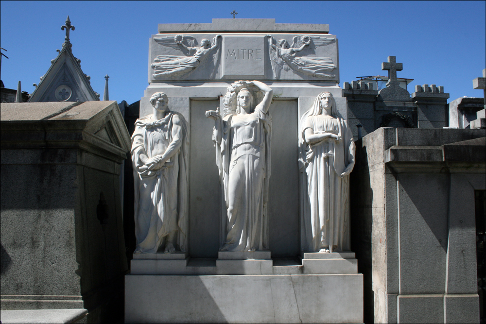
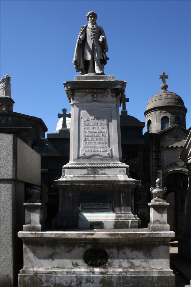
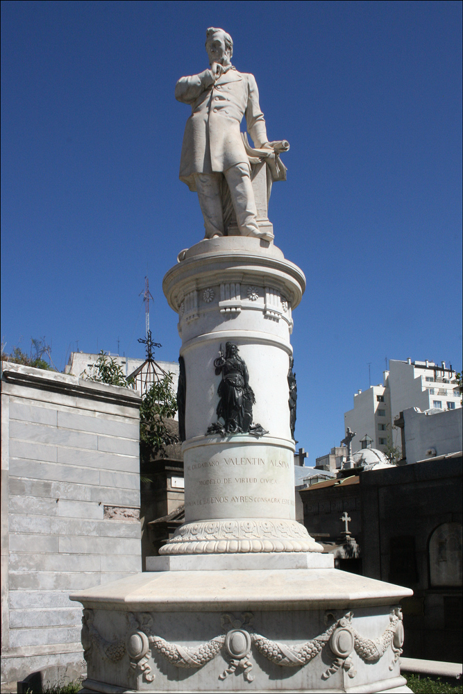
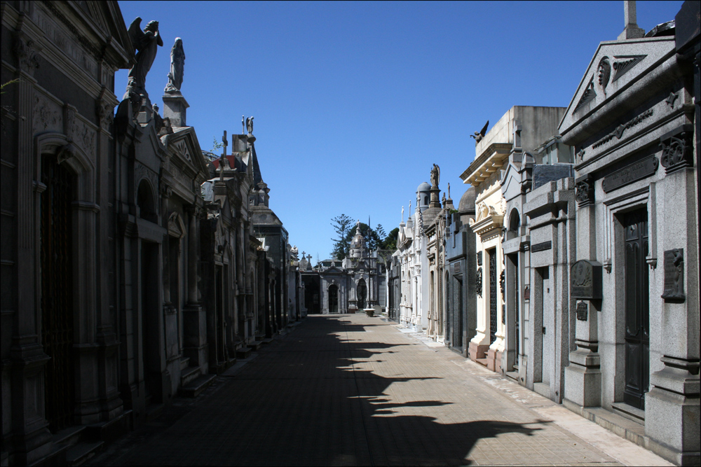
In Buenos Aires there is a saying that “It’s cheaper to live extravagantly all your life than to be buried in Recoleta.”  Cementerio de la Recoleta is the final resting place for the wealthiest and most prestigious of Argentina’s citizens .  The cemetery is, indeed, a city of the dead .  Wide streets and narrow passages crisscross through Recoleta Cemetery where it seems that everyone is buried in a mausoleum to spend eternity in a house of granite .  Among the rich and famous buried here are Bartolomé Mitre (1821-1906), a soldier, journalist, and the sixth president of Argentina .  Mitre has been described as one of the Argentina’s best writers and is well known for chronicling South America’s wars of independence .  Marco Avellaneda (1813-1841) was the son of a prominent Argentine politician .  He, himself, became governor of the Province of Tucumí¡n .  He was put to death by the dictator Rosas who displayed Avellaneda’s head on a pike in the Plaza of Tucumí¡n .  Valentine Alsina (1802-1869) was an Argentine lawyer and politician .  He served as governor of Buenos Aires and as a member of the Argentine senate.

Entrance to Cementerio de la Recoleta

Entrance to Cementerio de la Recoleta

SOURCE:  Entrance to Cementerio de la Recoleta (Buenos Aires, Argentina), photographed by Stephen J. Danko on 31 Dec 2010.

Tomb of Bartolomé Mitre (1821-1906)

Tomb of Bartolomé Mitre (1821-1906)

SOURCE: Â Tomb of Bartolomé Mitre (1821-1906) (Buenos Aires, Argentina), photographed by Stephen J. Danko on 31 Dec 2010.

Tomb of Marco Avellaneda (1813-1841)

Tomb of Marco Avellaneda (1813-1841)

SOURCE: Â Tomb of Marco Avellaneda (1813-1841) (Buenos Aires, Argentina), photographed by Stephen J. Danko on 31 Dec 2010.

Tomb of Valentin Alsina (1802-1869)

Tomb of Valentin Alsina (1802-1869)

SOURCE: Â Tomb of Valentin Alsina (1802-1869) (Buenos Aires, Argentina), photographed by Stephen J. Danko on 31 Dec 2010.

Copyright © 2011 by Stephen J. Danko
Posted in Daily Journal | Tagged | Comments Off on Cementerio de la Recoleta, Buenos Aires

The Japanese Garden, Buenos Aires

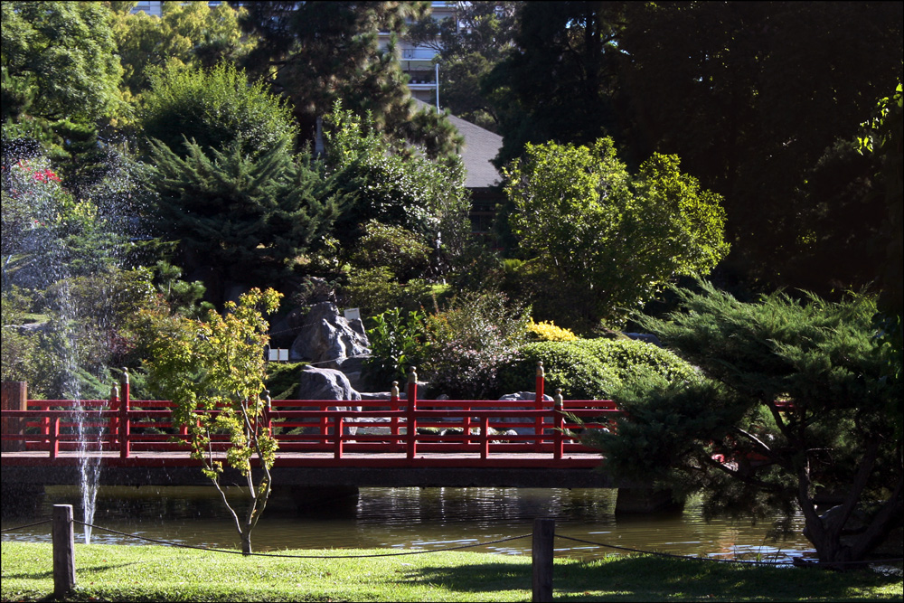
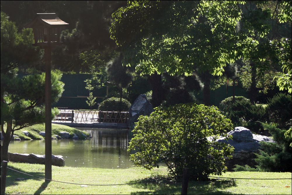
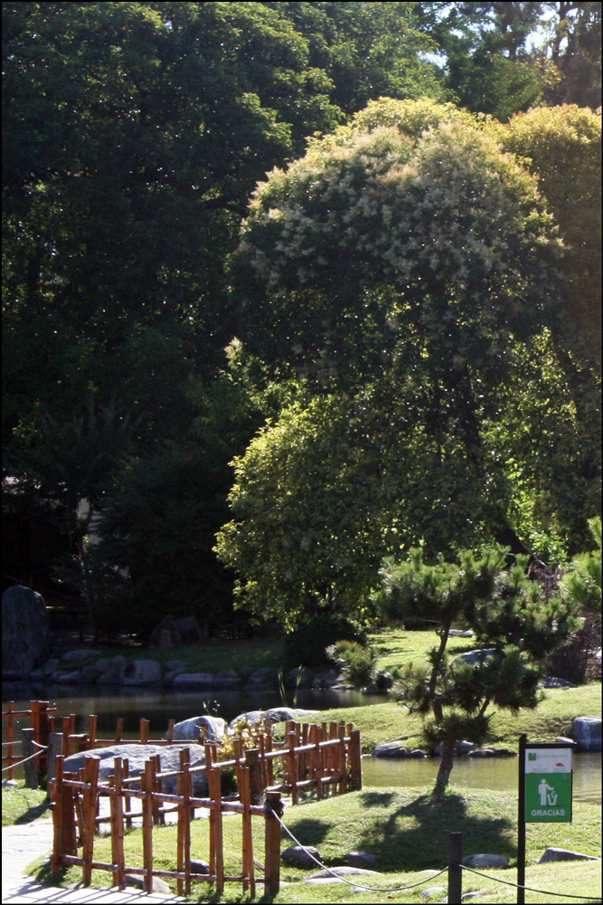
By the time I reached Jardí­n Japonés (the Japanese Garden) in the Palermo nieghborhood of Buenos Aires, it was closed for the day .  Nonetheless, I snapped some photos through the fence .  Perhaps I’ll be able to visit the Japonese Garden on some future visit.

Jardí­n Japonés - Entrance

Jardí­n Japonés – Entrance

SOURCE:  Jardí­n Japonés – Entrance (Buenos Aires, Argentina), photographed by Stephen J. Danko on 31 Dec 2010.

Jardí­n Japonés - Interior 1

Jardí­n Japonés – Interior 1

SOURCE:  Jardí­n Japonés - Interior 1 (Buenos Aires, Argentina), photographed by Stephen J. Danko on 31 Dec 2010.

Jardí­n Japonés - Interior 2

Jardí­n Japonés – Interior 2

SOURCE:  Jardí­n Japonés - Interior 2 (Buenos Aires, Argentina), photographed by Stephen J. Danko on 31 Dec 2010.

Jardí­n Japonés - Interior 3

Jardí­n Japonés – Interior 3

SOURCE:  Jardí­n Japonés – Interior 3 (Buenos Aires, Argentina), photographed by Stephen J. Danko on 31 Dec 2010.

Copyright © 2011 by Stephen J. Danko
Posted in Daily Journal | Tagged | Comments Off on The Japanese Garden, Buenos Aires

Recoleta and Palermo, Buenos Aires

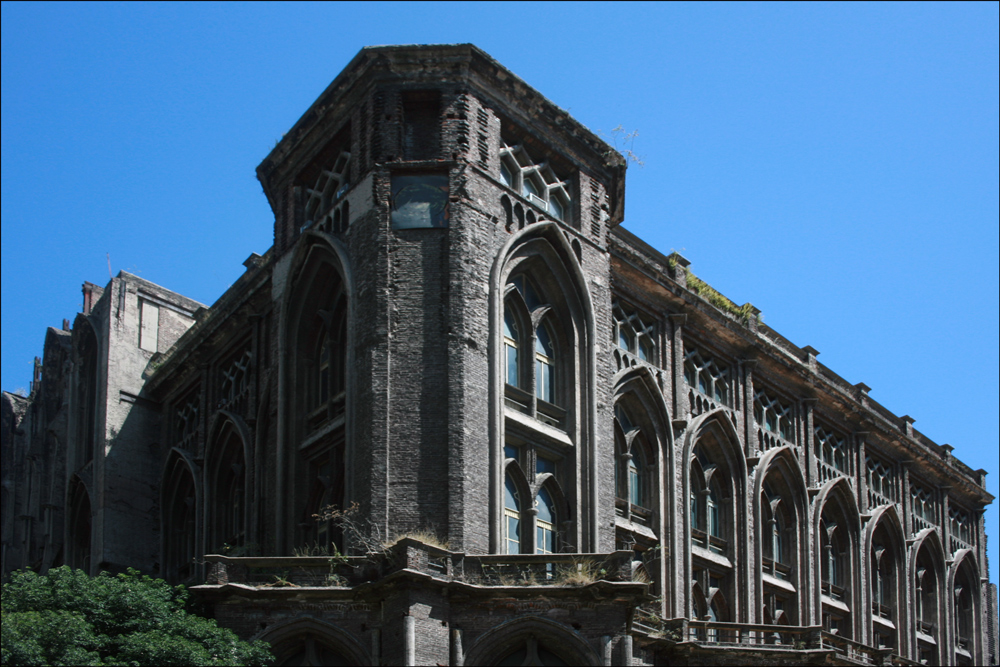
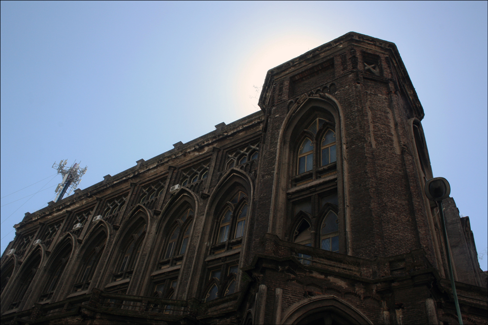
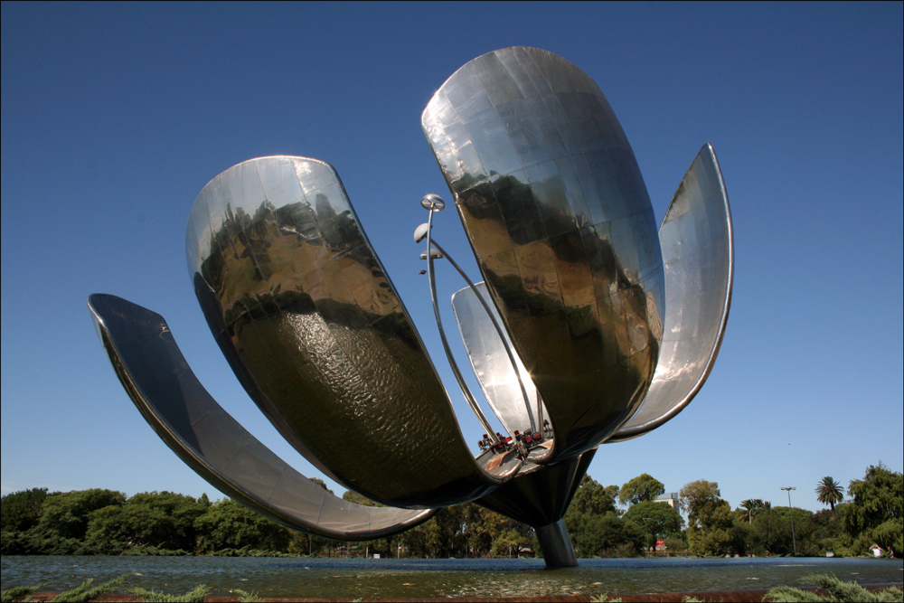
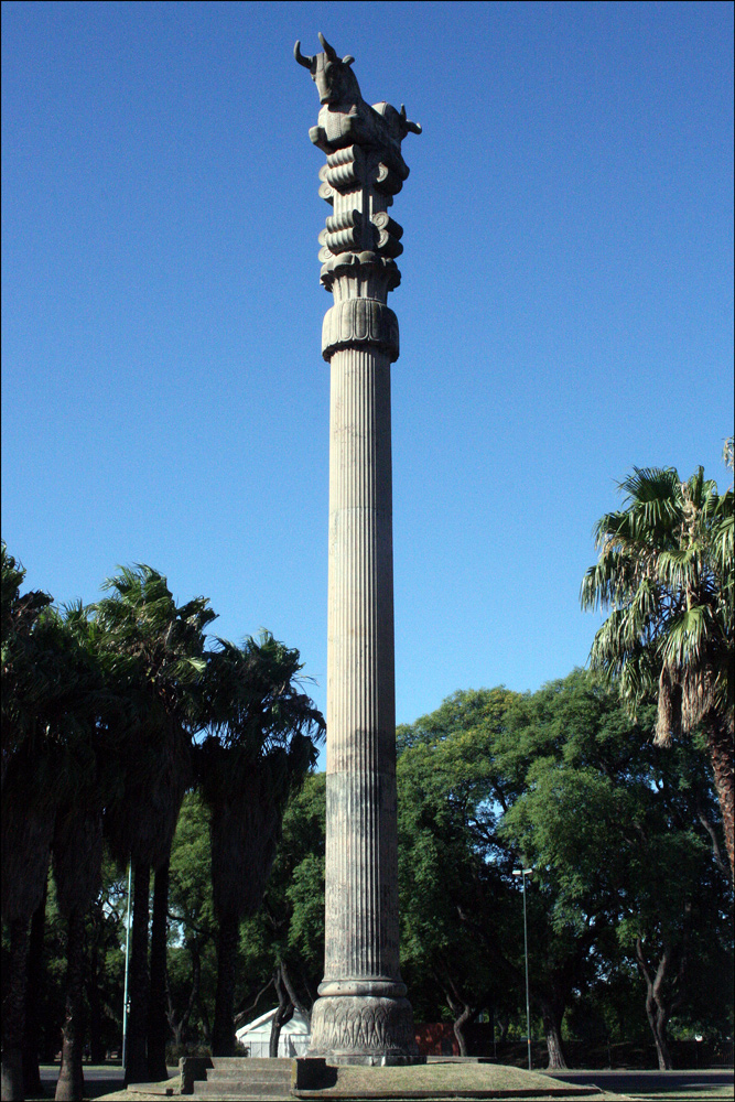
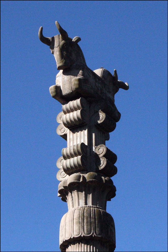
A stroll through the Recoleta and Palermo neighborhoods in Buenos Aires reveals many delights, too many to fully appreciate in a single day .  The Facultad de Ingenierí­a (Engineering School) is described by my travel guide as a “decrepit neo-Gothic” building .  With scraggly plants sprouting high on its crumbling structure, the decaying appearance still has a certain charm and allure .  The postcard-perfect Floralis Genérica with its aluminum and steel petals that open with the day and close at night is a popular sight in the Plaza Naciones Unidas (United Nations Plaza) .  Further along in Plaza Irí¡n (Iran Plaza) is La Columna del Templo Persa (Column of the Persian Temple), in impressive monument, indeed.

Facultad de Ingenierí­a - 1

Facultad de Ingenierí­a – 1

SOURCE:  Facultad de Ingenierí­a – 1 (Buenos Aires, Argentina), photographed by Stephen J. Danko on 31 Dec 2010.

Facultad de Ingenierí­a - 2

Facultad de Ingenierí­a – 2

SOURCE:  Facultad de Ingenierí­a - 2 (Buenos Aires, Argentina), photographed by Stephen J. Danko on 31 Dec 2010.

Floralis Genérica

Floralis Genérica

SOURCE: Â Floralis Genérica (Buenos Aires, Argentina), photographed by Stephen J. Danko on 31 Dec 2010.

La Columna del Templo Persa

La Columna del Templo Persa

SOURCE: Â La Columna del Templo Persa (Buenos Aires, Argentina), photographed by Stephen J. Danko on 31 Dec 2010.

La Columna del Templo Persa - Detail

La Columna del Templo Persa – Detail

SOURCE: Â La Columna del Templo Persa – Detail (Buenos Aires, Argentina), photographed by Stephen J. Danko on 31 Dec 2010.

Copyright © 2011 by Stephen J. Danko
Posted in Daily Journal | Tagged | Comments Off on Recoleta and Palermo, Buenos Aires

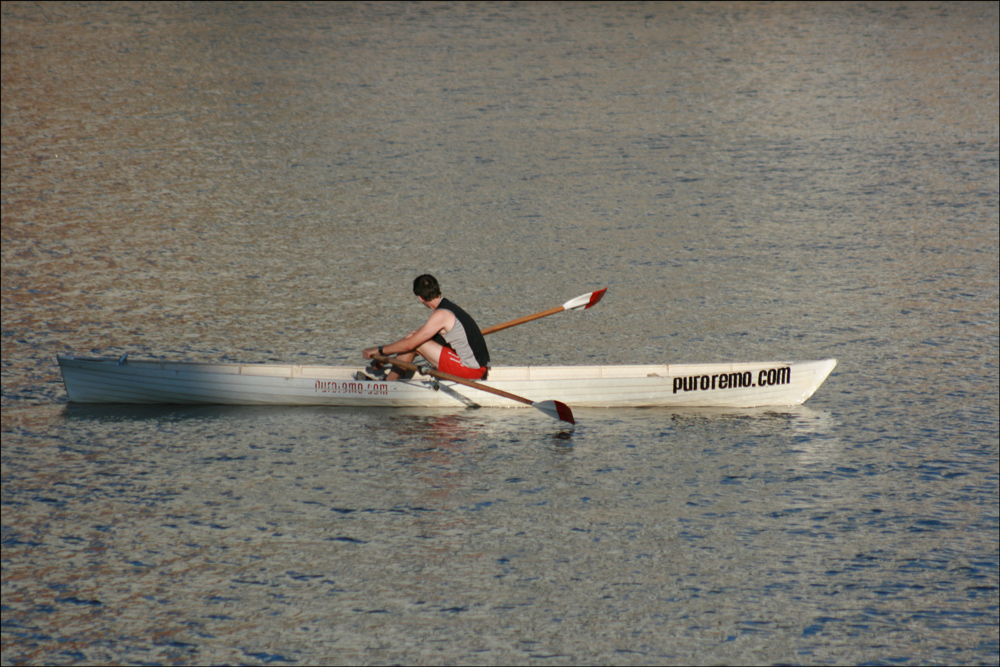
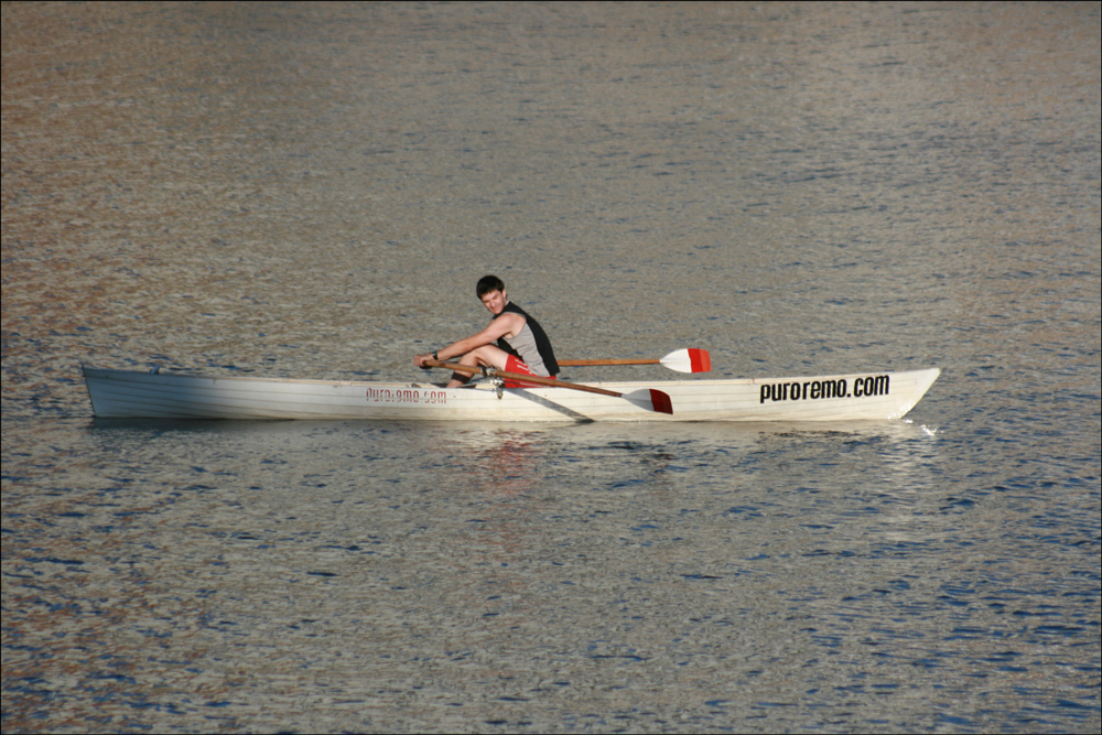
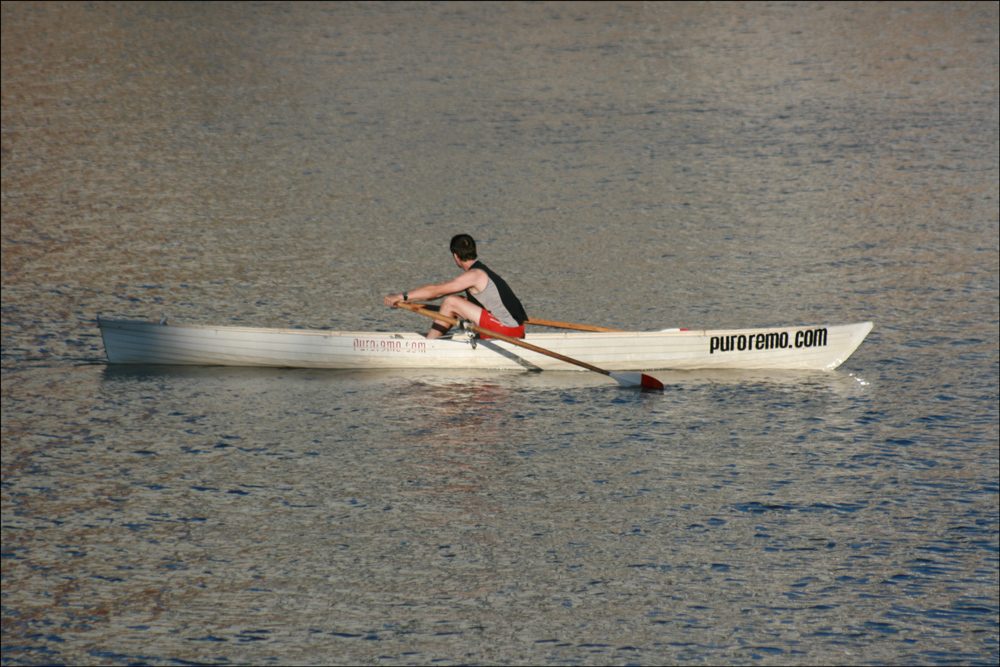
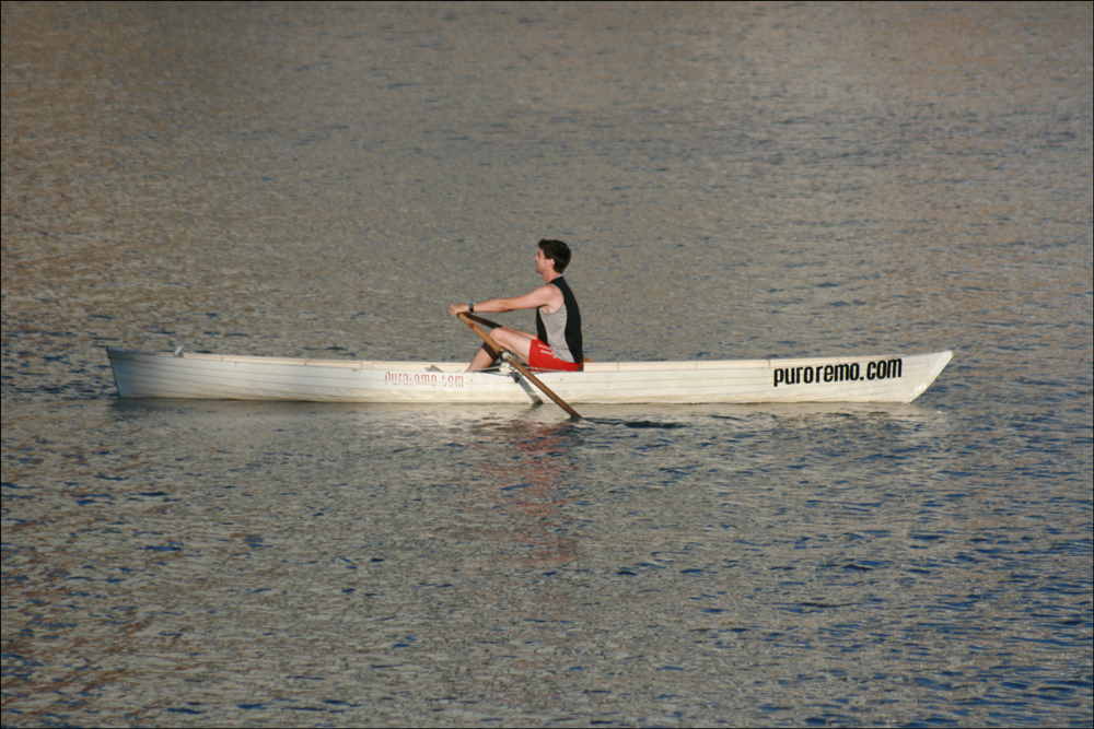
The Rower, Buenos Aires

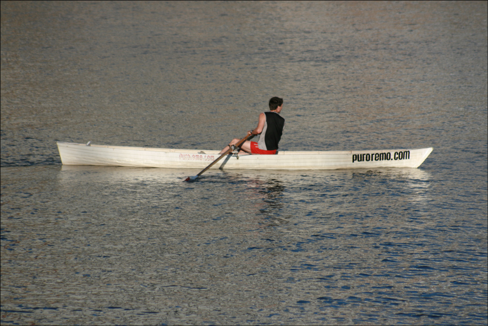
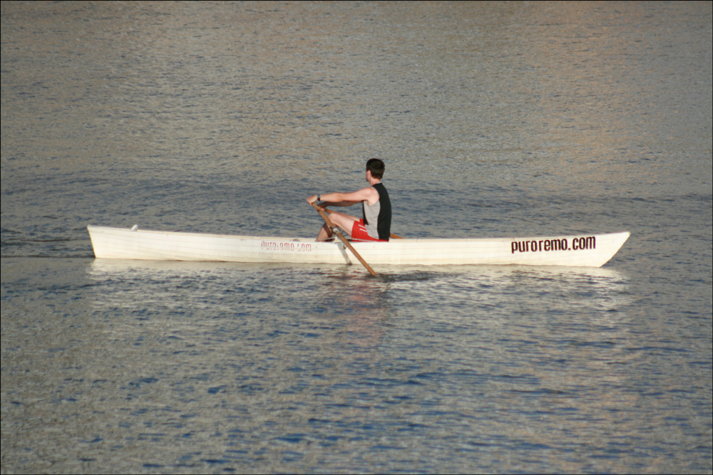
While sightseeing in Buenos Aires, Argentina, I spotted this rower in the diques .  I took several pictures and thought they would make an interesting photo essay.

The Rower - 1

The Rower – 1

SOURCE:  The Rower – 1 (Buenos Aires, Argentina), photographed by Stephen J. Danko on 30 Dec 2010.

The Rower - 2

The Rower – 2

SOURCE:  The Rower - 2 (Buenos Aires, Argentina), photographed by Stephen J. Danko on 30 Dec 2010.

The Rower - 3

The Rower – 3

SOURCE:  The Rower - 3 (Buenos Aires, Argentina), photographed by Stephen J. Danko on 30 Dec 2010.

The Rower - 4

The Rower – 4

SOURCE:  The Rower - 4 (Buenos Aires, Argentina), photographed by Stephen J. Danko on 30 Dec 2010.

The Rower - 5

The Rower – 5

SOURCE:  The Rower - 5 (Buenos Aires, Argentina), photographed by Stephen J. Danko on 30 Dec 2010.

The Rower - 6

The Rower – 6

SOURCE:  The Rower - 6 (Buenos Aires, Argentina), photographed by Stephen J. Danko on 30 Dec 2010.

Copyright © 2011 by Stephen J. Danko
Posted in Daily Journal | Tagged | Comments Off on The Rower, Buenos Aires

Casa Rosada and Edificio Libertador, Buenos Aires

Adjacent to the Plaza de Mayo stands the Casa Rosada (Pink House), the seat of the executive branch of Argentina’s federal government .  The structure was completed in 1898 after the State House and Central Post Office were connected with an Italianate archway .  The balcony where Evita Perón addressed the public can be seen in the first view below .  Not far from Casa Rosada stands a monument to Christopher Columbus which was constructed in Italy, disassembled, and reassembled in Buenos Aires .  The base of the monument included figures representing Civilization, Science, Genius and the Ocean .  East of Casa Rosada stands the Edificio Libertador (Liberator Building) completed in 1938 and housing the Ministerio de Defensa (Defense Ministry) .  And yes, this is still Christmastime and even the Defense Ministry displays a nativity scene . 

The Casa Rosada (Pink House)

The Casa Rosada (Pink House)

SOURCE:  The Casa Rosada (Pink House) (Buenos Aires, Argentina), photographed by Stephen J. Danko on 30 Dec 2010.

Palm Tree, Flag of Argentina, and Casa Rosada

Palm Tree, Flag of Argentina, and Casa Rosada

SOURCE:  Palm Tree, Flag of Argentina, and Casa Rosada (Buenos Aires, Argentina), photographed by Stephen J. Danko on 30 Dec 2010.

Monument to Christopher Columbus

Monument to Christopher Columbus

SOURCE:  Monument to Christopher Columbus (Buenos Aires, Argentina), photographed by Stephen J. Danko on 30 Dec 2010.

Edificio Libertador (Liberator Building)

Edificio Libertador (Liberator Building)

SOURCE: Â Edificio Libertador (Liberator Building) (Buenos Aires, Argentina), photographed by Stephen J. Danko on 30 Dec 2010.

Nativity Scene at the Defense Ministry

Nativity Scene at the Defense Ministry

SOURCE: Â Nativity Scene at the Defense Ministry (Buenos Aires, Argentina), photographed by Stephen J. Danko on 30 Dec 2010.

Copyright © 2011 by Stephen J. Danko
Posted in Daily Journal | Tagged | Comments Off on Casa Rosada and Edificio Libertador, Buenos Aires

Catedral Metropolitana de Buenos Aires

I arrived in Buenos Aires, Argentina on December 30 in plenty of time to celebrate the coming of the New Year .  On my first day, I explored the Plaza de Mayo and the Catedral Metropolitana de Buenos Aires (Metropolitan Cathedral of Buenos Aires) .  Plaza de Mayo is named for the date when Argentina declared its independence from Spain, May 25, 1810 .  The cathedral was built on the site of the original colonial church and was completed in 1827 .  The bas relief sculptures in the triangular pediment at the top of the cathedral shows the reunion of Joseph with his brothers and his father Jacob.

Catedral Metropolitana de Buenos Aires

Catedral Metropolitana de Buenos Aires

SOURCE:  Catedral Metropolitana de Buenos Aires (Buenos Aires, Argentina), photographed by Stephen J. Danko on 30 Dec 2010.
Inside the cathedral are many side chapels, including one dedicated to Nuestra Seí±ora de La Paz (Our Lady of Peace).

Chapel of Nuestra Seí±ora de La Paz

Chapel of Nuestra Seí±ora de La Paz

SOURCE:  Chapel of Nuestra Seí±ora de La Paz (Buenos Aires, Argentina), photographed by Stephen J. Danko on 30 Dec 2010.
Of great importance to the people of Argentina is the mausoleum of General José de San Martin .  San Martin is the national hero of Argentina and one of the liberators of Spanish South America .  Born in Argentina in 1777 or 1778, he died in France in 1850 . Â  His remains were interred in the cathedral in 1880 .  The mausoleum is also the final resting place for General  Juan Gregorio de las Heras, General Tomí¡s Guido, and the Unknown Soldier of the Independence .  The three statues surrounding the mausoleum represent Argentina, Peru, and Chile.

Mausoleum of General José de San Martin

Mausoleum of General José de San Martin

SOURCE:  Mausoleum of General José de San Martin (Buenos Aires, Argentina), photographed by Stephen J. Danko on 30 Dec 2010.
Since this was still Christmastime, the cathedral displayed a simple, but beautiful nativity scene.

Nativity Scene in Catedral Metropolitana de Buenos Aires

Nativity Scene in Catedral Metropolitana de Buenos Aires

SOURCE:  Nativity Scene in Catedral Metropolitana de Buenos Aires (Buenos Aires, Argentina), photographed by Stephen J. Danko on 30 Dec 2010.
In 1907, the floor of the cathedral was covered with Venetian style mosaics designed by Carlo Morra .  In recent years, the mosaics were completely restored.

Floor Mosaics in Catedral Metropolitana de Buenos Aires

Floor Mosaics in Catedral Metropolitana de Buenos Aires

SOURCE:  Floor Mosaics in Catedral Metropolitana d Buenos Aires (Buenos Aires, Argentina), photographed by Stephen J. Danko on 30 Dec 2010.
Copyright © 2010 by Stephen J. Danko
Posted in Daily Journal | Tagged | 2 Comments

Austrian Military Map of Długołęka (7)

Of the five places called Długołęka in Volume XV of the Słownik Geograficzny Królestwa Polskiego i Innych Krajów Słowiańskich (Geographical Dictionary of the Kingdom of Poland and other Slavonic Countries), the third and fourth are located near Białystok .  The third entry in volume XV, located 23 versts (about 23 km) from Białystok, is found on the Third Military Mapping Survey of Austria-Hungary .  I could not find the fourth entry, located 43 versts (about 43 km) from Białystok, on those same maps .  The entry for Długołęka in Volume XV of the Słownik Geograficzny was translated in a previous post.

Austrian Military Map of Długołęka (7) - 1910

Austrian Military Map of Długołęka (7) – 1910

SOURCE: Third Military Mapping Survey of Austria-Hungary, 40-53, Lomża. Online http://lazarus.elte.hu/hun/digkonyv/topo/200e/40-53.jpg; downloaded 30 Dec 2010.

Copyright © 2010 by Stephen J. Danko
Posted in Daily Journal | Tagged , | Comments Off on Austrian Military Map of Długołęka (7)

The Polish Village of Długołęka (Vol. XV)

One of the places that appears in the records of several of my relatives was Długołęka .  Volume XV the Słownik Geograficzny Królestwa Polskiego i Innych Krajów Słowiańskich (Geographical Dictionary of the Kingdom of Poland and other Slavonic Countries) includes descriptions of five places.  The first two entries include additional information for two villages previously described in Volume II .  The remaining three entries are new.

Słownik Geograficzny Entry for Długołęka (Vol. XV)

Słownik Geograficzny Entry for Długołęka (Vol. XV)

Source:  Chlebowski, Bronisław, Józef Krzywicki, Filip Sulimierski, and Władysław Walewski, eds., Słownik Geograficzny Królestwa Polskiego i Innych Krajów Słowiańskich (Geographical Dictionary of the Kingdom of Poland and other Slavonic Countries) – Warsaw 1900, Volume XV, page 412.

Click on the link for a PDF copy of the Słownik Geograficzny entry for Długołęka (Vol. XV).  Translated from the Polish, the entry reads:

Długołęka  1.) a village in the Kutnow Powiat.  A ducal village in the 15th century.  In the year 1579 there were 8 fields, 2 farmsteads, and 4 fields of the head of the community.  2.) Długołęka, to be precise Dlugolanca, a village on the Vistula River in the Sandomierz Powiat and Osiek Parish.  In the year 1360, King Kazimierz conferred to Więcesław our key bearer in Osiek and to his brother Ja a new village in the royal forest between Osiek and Swiniary, also known as “Dlugolanca”, for the settlement of the right center.  After 20 years, independence was to be placed on the settlement after the completion of rent (Kodeks Małopolska vol. III, p. 141).  In the middle of the 15th century, it was a royal village giving tithes to Osiek (Liber B, vol. II, p. 322). In the public registers in 1578, the village of Długa Łąka paid for 26 settlements on 14 fields, 2 fields of the head of the community, 4 for the poor, and 4 for the craftsmen.
Długołęka 1.) a village and collective in the Białystok Powiat, Krypno Gmina, 23 versts [0.66 miles per verst] from Białystok.  The village has 97 homes, 708 residents, and 1,502 souls; the collective belongs to the Knyszyn estate.  2.) Długołęka Poduchowna, a village, there, 43 versts from Białystok with 146 souls.
Długołęka, a village in the Nowosądecki Powiat, granted to the head of the community in Długołęka, a monastic village (Kodeks Małopolska, vol. III, p. 107).  In the year 1581, the monastic village Długa Łąka had 2 ½ fields for the peasants, 1 for the sołtys [chair of the village council], and 1 for the craftsmen.  Compare Swirkla (vol. XI).

For the 1910 Austrian Military Maps of the first two villages called Długołęka, see the following posts:

Copyright © 2010 by Stephen J. Danko
Posted in Daily Journal | Tagged , | Comments Off on The Polish Village of Długołęka (Vol. XV)

Austrian Military Map of Długołęka (6)

Of the six places called Długołęka in the Słownik Geograficzny Królestwa Polskiego i Innych Krajów Słowiańskich (Geographical Dictionary of the Kingdom of Poland and other Slavonic Countries), the sixth and last is located in the Krotoszyn Powiat and appears on the third Military Mapping Survey of Austria-Hungary on Sheet 35-51, Wroclaw .  This village was located in the Prussian Partition of Poland and is identified by its German name, Langewiese, on the Austrian Military Map . Â  The Słownik Geograficzny entry for Długołęka was translated in a previous post.

Austrian Military Map of Długołęka (6) - 1910

Austrian Military Map of Długołęka (6) – 1910

SOURCE: Third Military Mapping Survey of Austria-Hungary, 35-51, Wroclaw. Online http://lazarus.elte.hu/hun/digkonyv/topo/200e/35-51.jpg; downloaded 28 Dec 2010.

Copyright © 2010 by Stephen J. Danko
Posted in Daily Journal | Tagged , | Comments Off on Austrian Military Map of Długołęka (6)