In the years since the site of the ancient city of Pompeii was discovered buried in ash and pumice, much of the city has been excavated. The city has been divided into nine regions for archeological purposes. Each region was divided into insulae (blocks), and each structure has been numbered. Designations for the individual buildings follow a code, such as I.4.28, which means Region I, Block 4, Building 28.
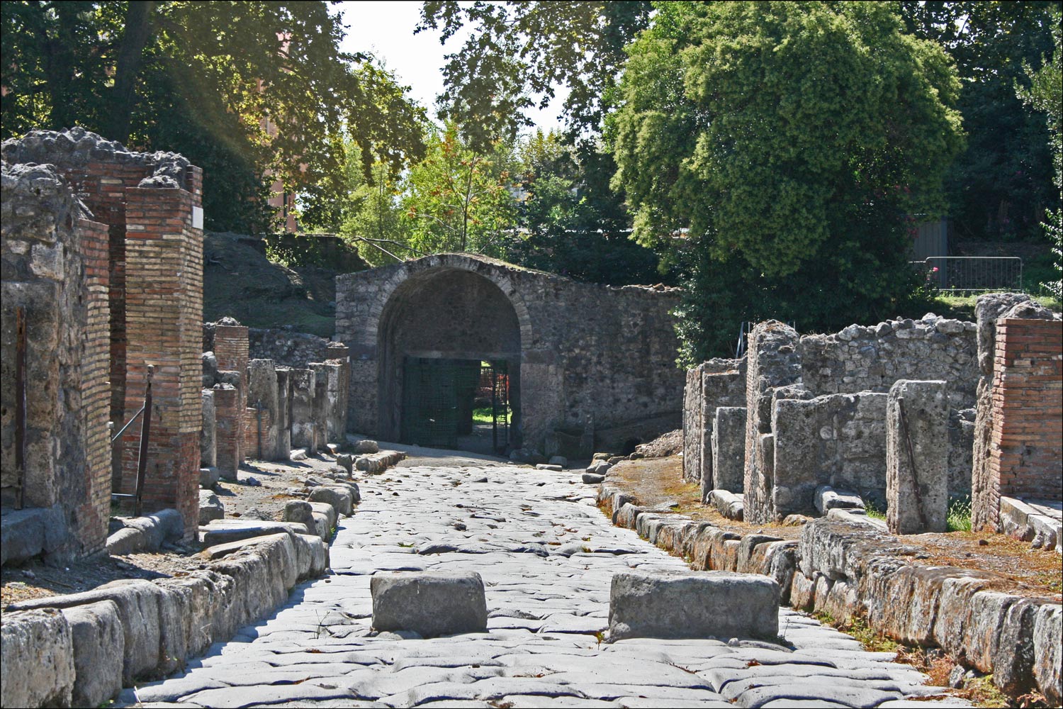
The street called Via Stabiana stretches from the Porta Stabia (Stabian Gate) to the center of the city. Along this street, on the west side (Region VIII), are the Gladiators’ Barracks and the Odeon. Note the large raised stones in the street. These were stepping stones to allow pedestrians to cross the street without stepping into whatever might be in the street itself. Carriages could still travel along the streets, their wheels passing between the stepping stones.
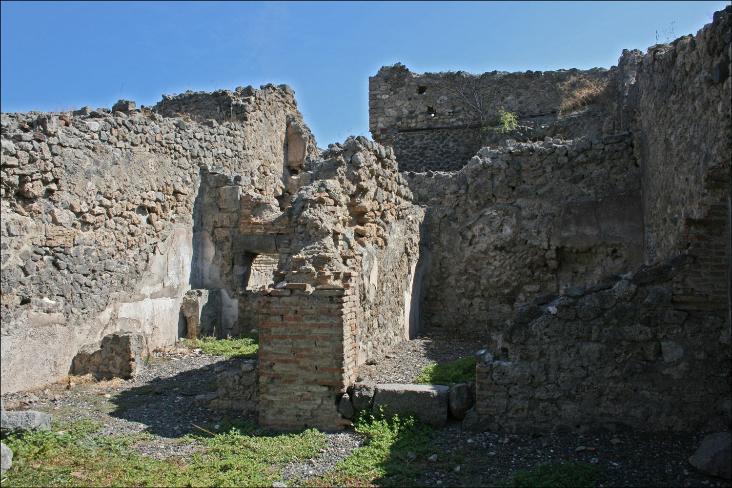
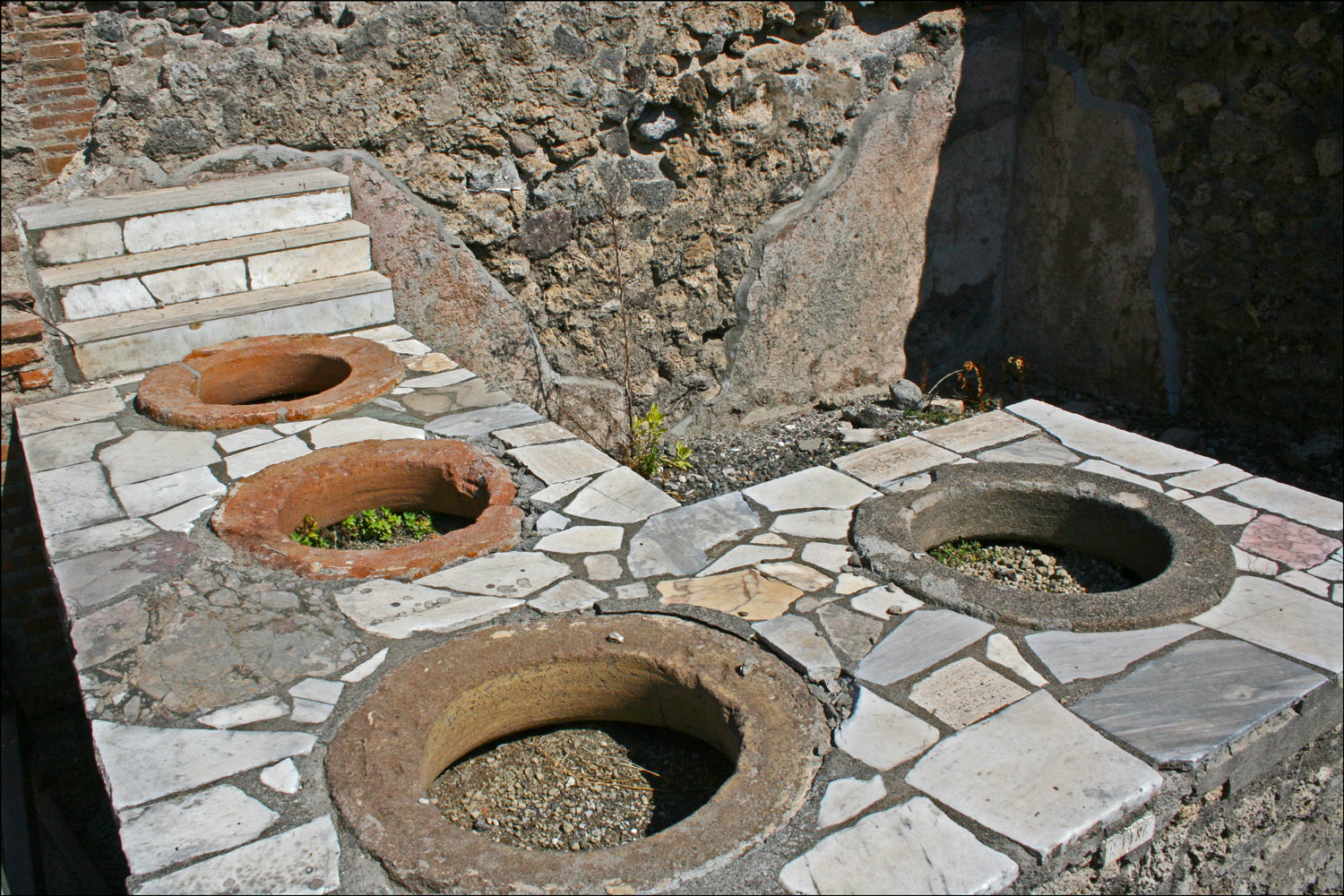
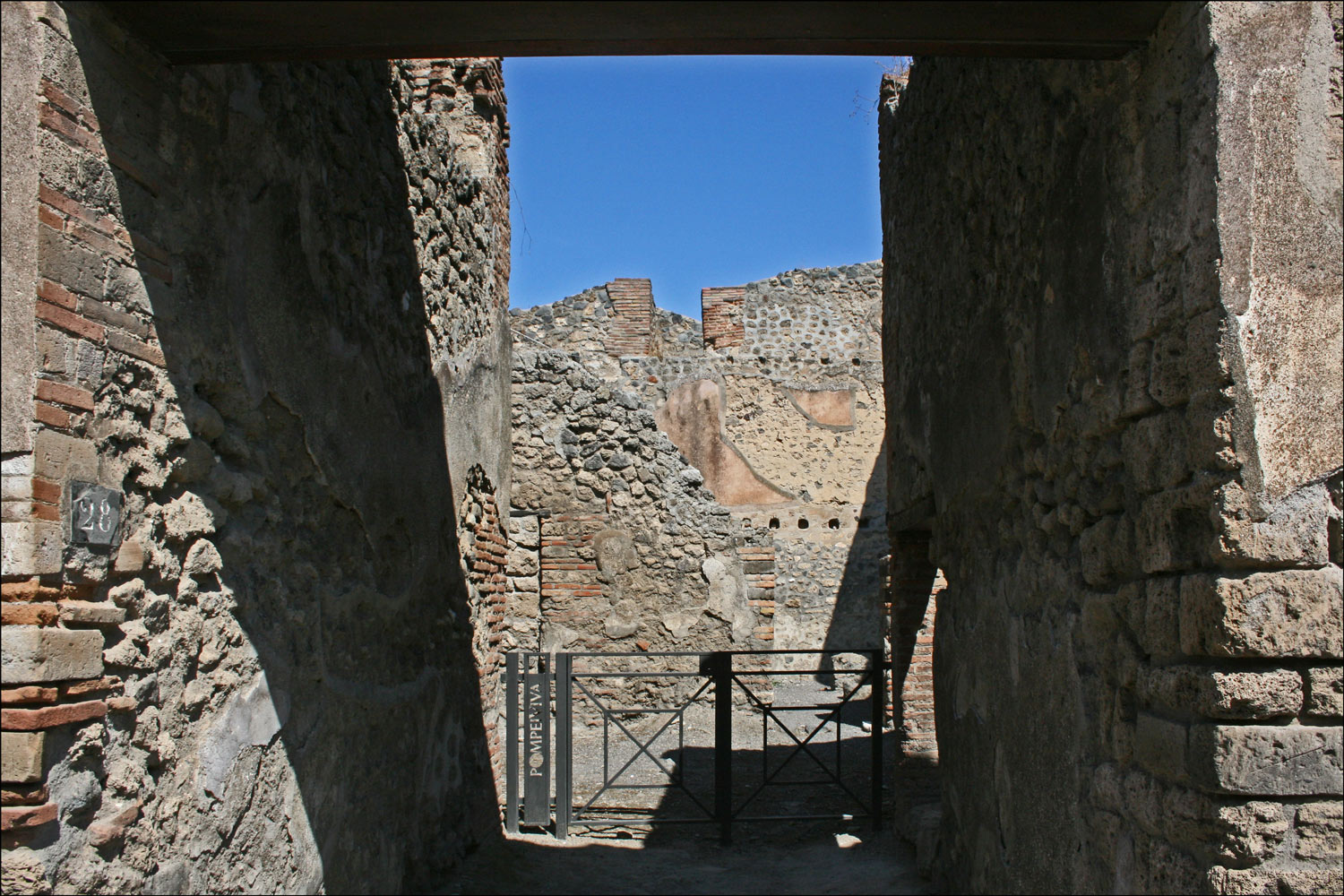
On the east side (Region I), are a number of residences and shops, including a bakery (I.3.1) with an oven which is seen as a hole in the wall with a large stone above it. Next door is a thermapolium or bar (I.3.2) with a counter containing four dolia (pottery jars sunk into the counter) and display shelves. Further along on the Via Stabiana is the Domus (large residence) of Q. Octavius Romulus (I.4.28).
Stabian Gate and Via Stabiana
SOURCE: Stabian Gate and Via Stabiana (Pompeii, Campania, Italy); photographed by Stephen J. Danko on 08 August 2011.
Bakery on Via Stabiana
SOURCE: Bakery on Via Stabiana (Pompeii, Campania, Italy); photographed by Stephen J. Danko on 08 August 2011.
Thermapolium on Via Stabiana
SOURCE: Thermapolium on Via Stabiana (Pompeii, Campania, Italy); photographed by Stephen J. Danko on 08 August 2011.
Residence of Q. Octavius Romulus
SOURCE: Residence of Q. Octavius Romulus (Pompeii, Campania, Italy); photographed by Stephen J. Danko on 08 August 2011.
Copyright © 2011 by Stephen J. Danko


