
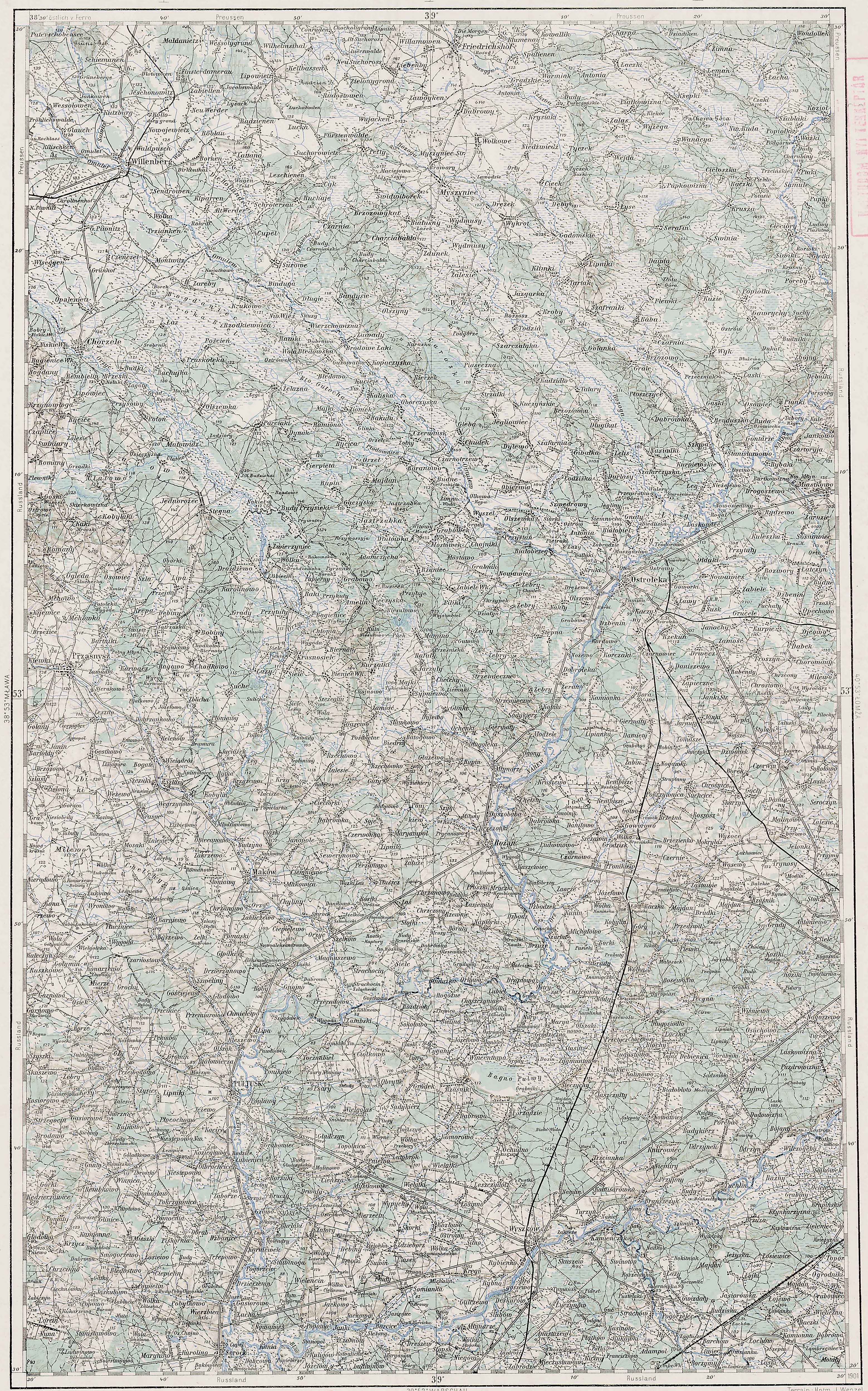
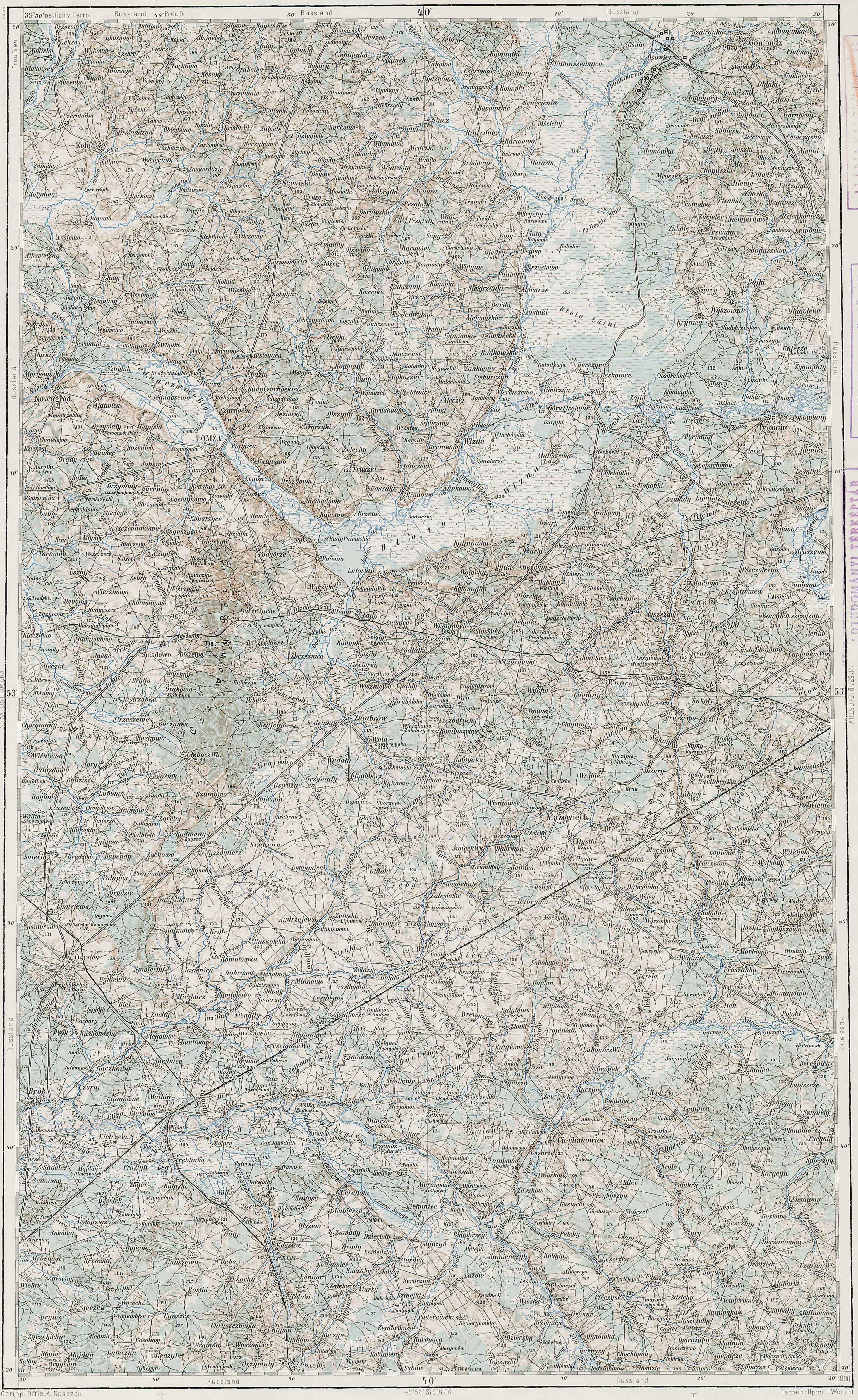
Of the two places called Piasutno in the Słownik Geograficzny Królestwa Polskiego i Innych Krajów Słowiańskich (Geographical Dictionary of the Kingdom of Poland and other Slavonic Countries), the first is located in the Kolno Powiat . The village of Piasutno is named on the Third Military Mapping Survey of Austria-Hungary as Piasutno itself, as Poreby-Piasutno and as Ludwy-Piasutno . Piasutno is in the Gawrychy Gmina, but Ludwy-Piasutno is probably in the Czerwone Gmina, based on its location relative to other villages (Gietki and Niksowizna) in the Czerwone Gmina. Piasutno is in the Mały Płock Parish, as are Gietki and Niksowizna . The Słownik Geograficzny entry for Piasutno was translated in a previous post.

Austrian Military Map of the Piasutno Area – 1910
SOURCE: Third Military Mapping Survey of Austria-Hungary, Sheet 39-53, Ostroleka and Sheet 40-53, Lomża. Online http://lazarus.elte.hu/hun/digkonyv/topo/200e/39-53.jpg and http://lazarus.elte.hu/hun/digkonyv/topo/200e/40-53.jpg; downloaded 09 Feb 2011.
I am interested in the village of Piasutno because I am trying to find the name of the parish to which belonged the village of Dymki, the ancestral home of my Dymek cousins . Most records state that the Dymeks were from the village of Dymki, but one stated that the name of the village was Peosutno Dymki . So far, all the research indicates that the village of Dymki belonged to either the Kolno Parish or the neighboring Mały Płock Parish in the Kolno Powiat, Łomża Gubernia.
Copyright © 2011 by Stephen J. Danko


