
The Słownik Geograficzny Królestwa Polskiego i Innych Krajów Słowiańskich (Geographical Dictionary of the Kingdom of Poland and other Slavonic Countries) includes an entry for the Polish village of Strachocino (now known as the two two villages Stary Strachocin and Nowy Strachocin).
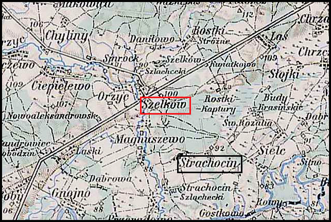
Strachocin and Surrounding Area – 1910
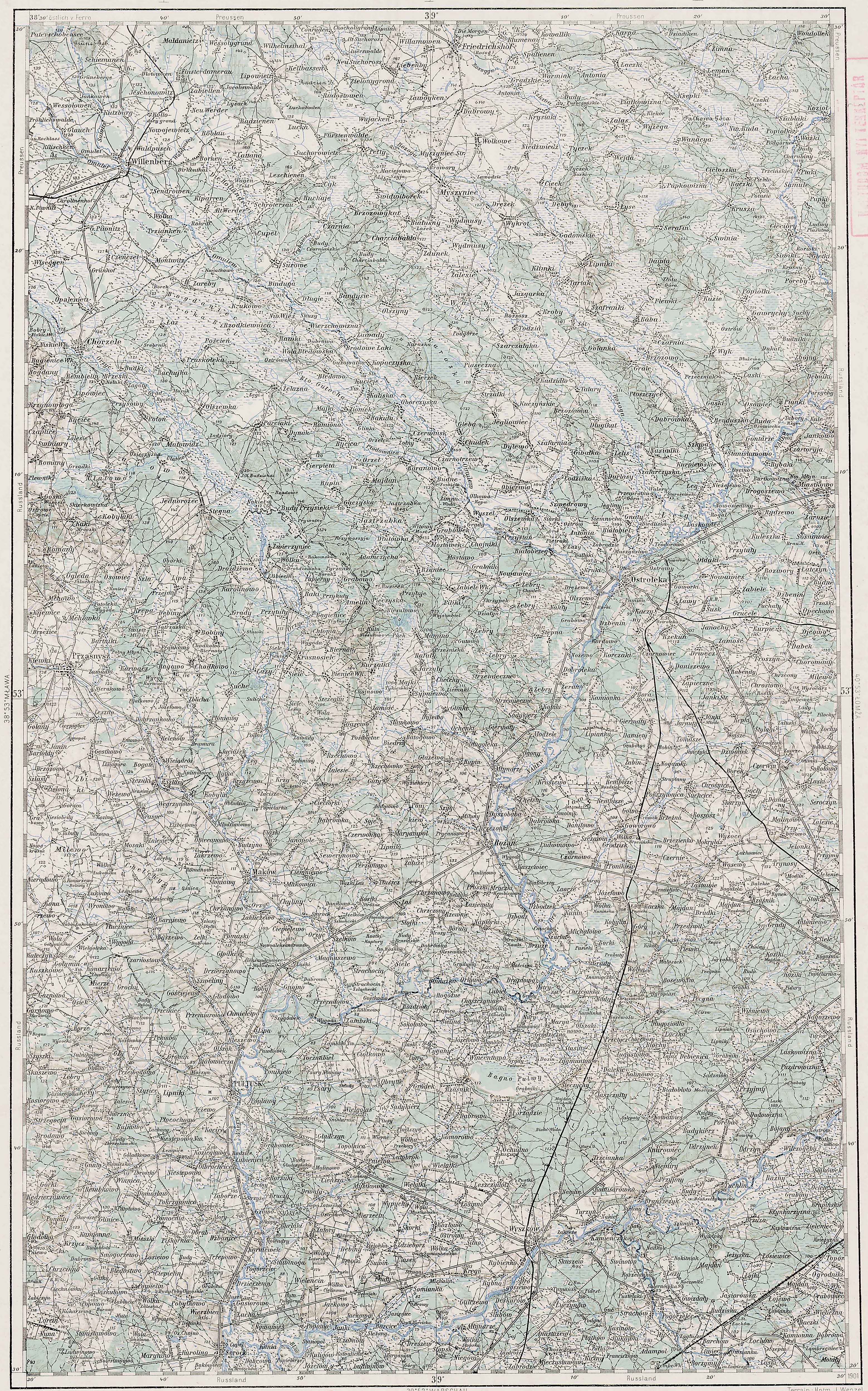
Third Military Mapping Survey of Austria-Hungary (ELTE Faculty of Informatics,
Institute of Cartography and Geoinformatics); digital images, Lazarus ELTE
(http://lazarus.elte.hu/hun/digkonyv/topo/200e/39-53.jpg: accessed 20 December 2025)
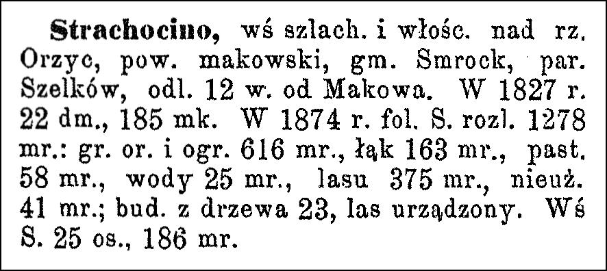
Source: Chlebowski, Bronisław and Władysław Walewski, eds., Słownik Geograficzny
Królestwa Polskiego i Innych Krajów Słowiańskich (Geographical Dictionary of the
Kingdom of Poland and other Slavonic Countries) – Warsaw 1890, Volume XI,
Click on the link for a PDF copy of the the Słownik Geograficzny entries for Strachocino. Translated from the Polish, the entry reads:
Strachocino, a village of nobles and peasants on the Orzyc River, Maków powiat, Smrock gmina, Szelków parish, 12 versts [1 verst = 1.07 kilometers] from Maków. In 1827, it had 22 houses and 185 inhabitants. In 1874, the Strachocino estate covered 1278 mórgs [Gerald Ortell’s book on Polish Parish Records states that in the Russian partition 1 mórg = 1.388 acres]: arable land and gardens 616 mórgs, meadows 163 mórgs, pastures 58 mórgs, water 25 mórgs, forest 375 mórgs, unused land 41 mórgs; 23 wooden buildings, managed forest. The village of Strachocino had 25 inhabitants and 186 mórgs of land.
Copyright © 2025 by Stephen J. Danko


