
The cadastral map of the Polish village of Komańcza, created by officials of the Austrian Empire in 1852 is available on the website of the Polish State Archives at Szukaj w Archiwach. The files at Szukaj w Archiwach include thirteen images that, together, form the complete map.
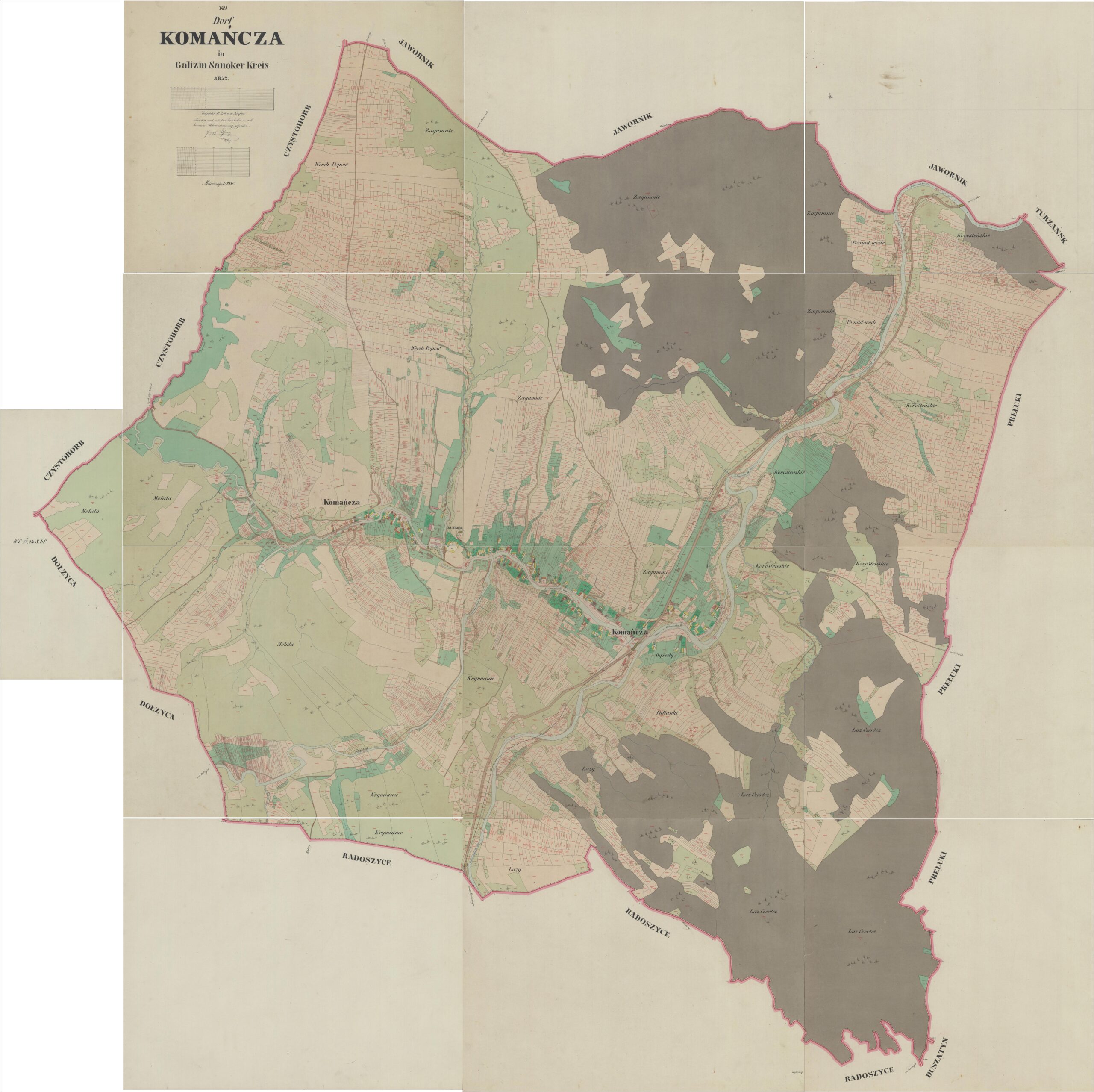
Komańcza Cadastral Map – 1852
Dorf Komańcza in Galizien Sanoker Kreis 1852 (State Archives in Poland); digital images, Szukaj w Archiwach
(https://www.szukajwarchiwach.gov.pl/en/jednostka/-/jednostka/18050674: accessed 20 December 2025)
Copyright © 2025 by Stephen J. Danko


