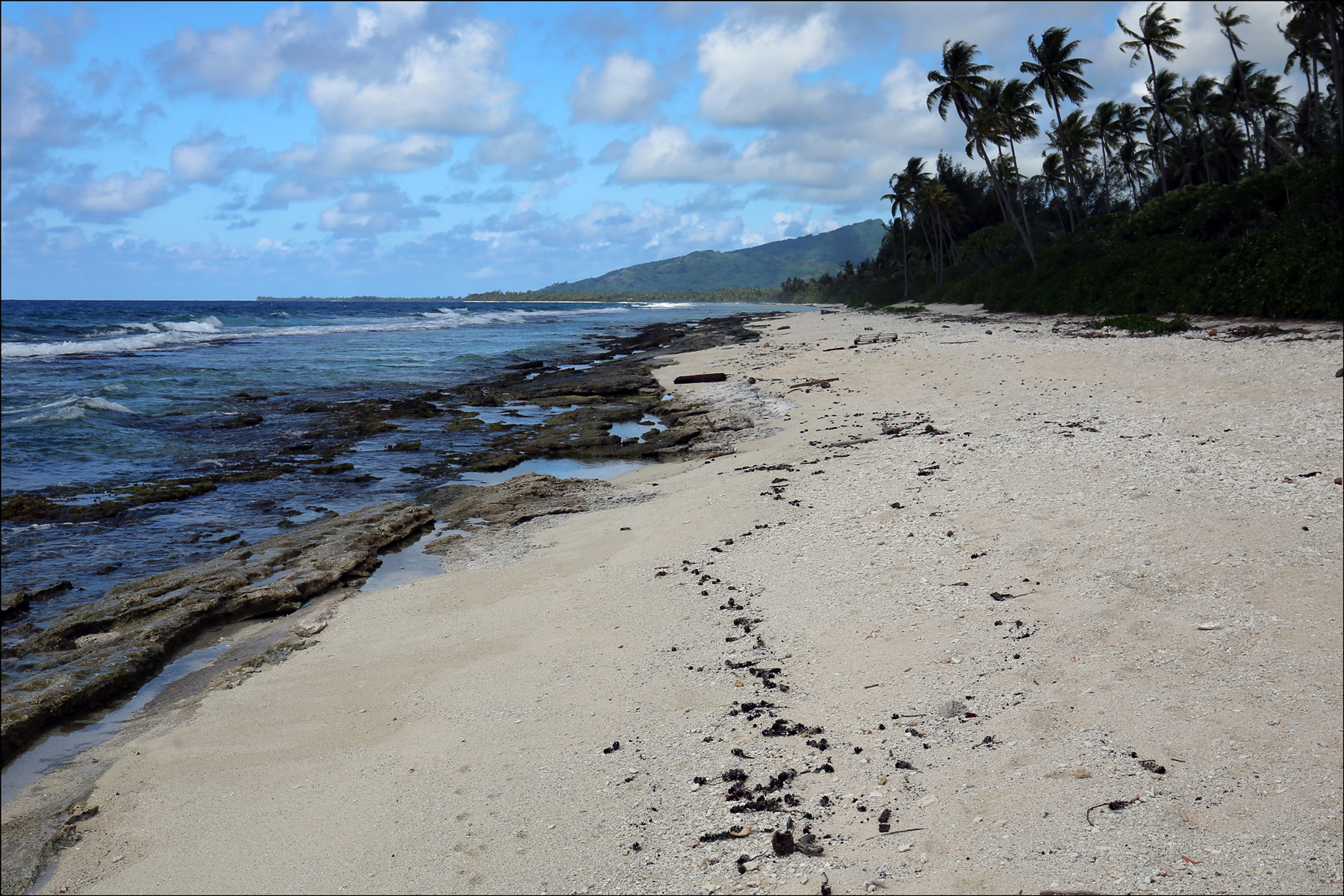
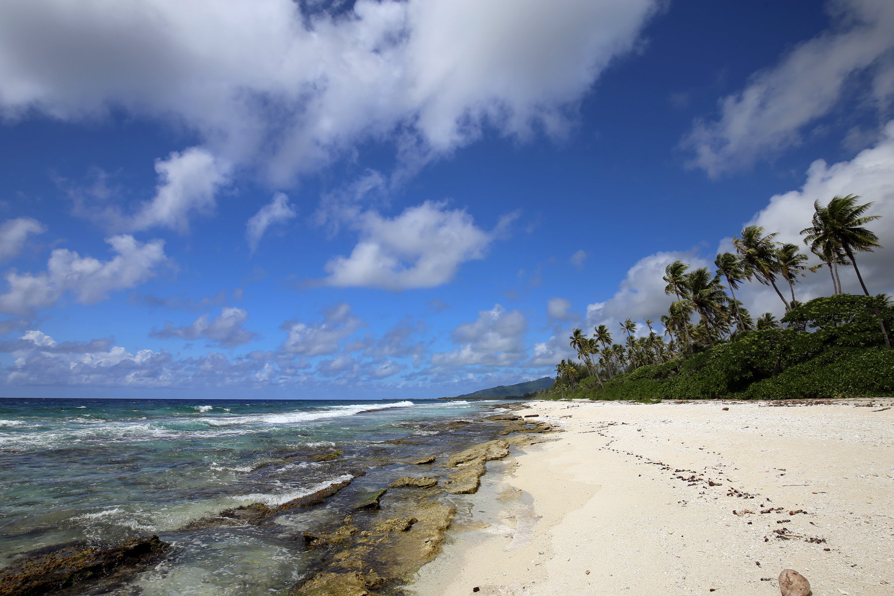
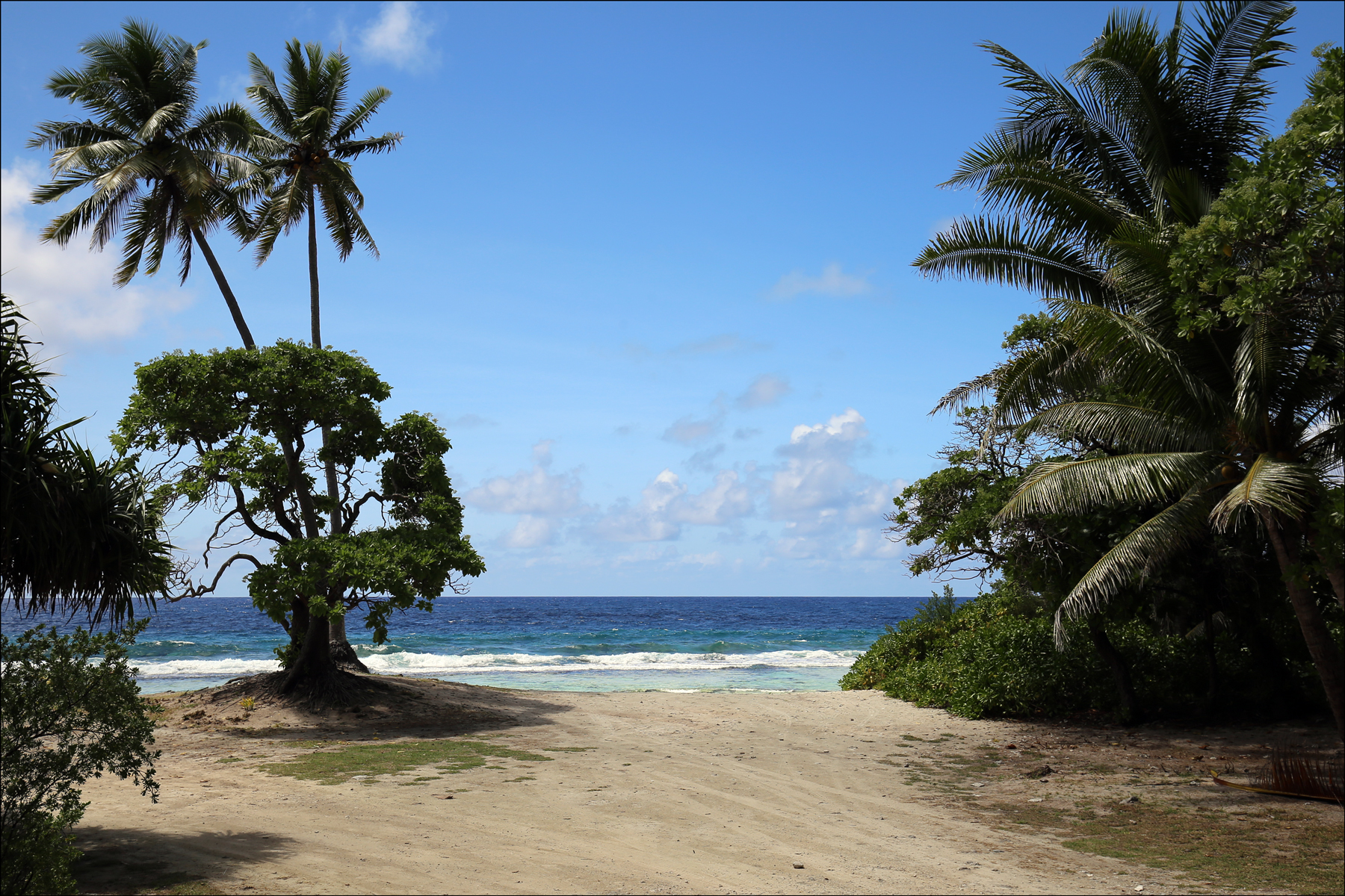
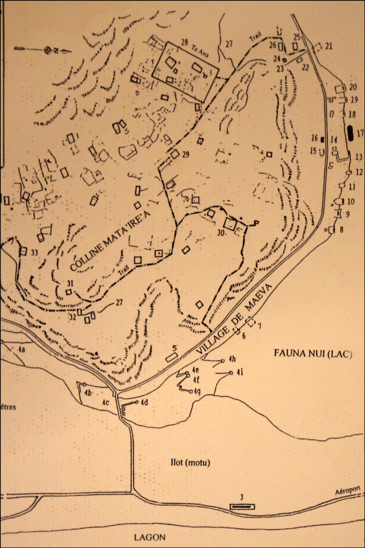
The beach at Mare Manunu is beautiful, although the rocks and coral make it treacherous to swim in the lagoon here. The map in the fourth photo is on display in the fare pōte’e in Maeva, and it shows the location of Marae Manunu (the rectangle marked “3” at the bottom), the fare pōte’e in Maeva (labelled “17” on the upper right) and the marae in Maeva (Marae Vai-‘ōtaha is “18”, Marae Fare Tai is “19”, and Marae Fare Ro’i is “20”). See my previous posts on “The Fare Pōte’e of Maeva” and “The Marae at Maeva.”
SOURCE: Huahine Beach 1Â (Huahine, French Polynesia); photographed by Stephen J. Danko on 10Â April 2016.
SOURCE: Huahine Beach 2 (Huahine, French Polynesia); photographed by Stephen J. Danko on 10Â April 2016.
SOURCE: Huahine Beach 3 (Huahine, French Polynesia); photographed by Stephen J. Danko on 10Â April 2016.
SOURCE: Map of the Maeva Area (Huahine, French Polynesia); photographed by Stephen J. Danko on 10Â April 2016.
Copyright © 2016 by Stephen J. Danko


