
The Military Maps of the Austrian Empire provide a great complement to the Słownik Geograficzny Królestwa Polskiego i Innych Krajów Słowiańskich (The Geographical Dictionary of the Kingdom of Poland and Other Slavonic Countries) because the maps and the gazetteer were prepared in the same time period.
Both the maps and the gazetteer were prepared over many years. The map that includes the village of Nastasów, Congress Kingdom of Poland (now Nastasiv, Ukraine) was published in 1889. The Słownik Geograficzny entry I translated yesterday was published in 1885.
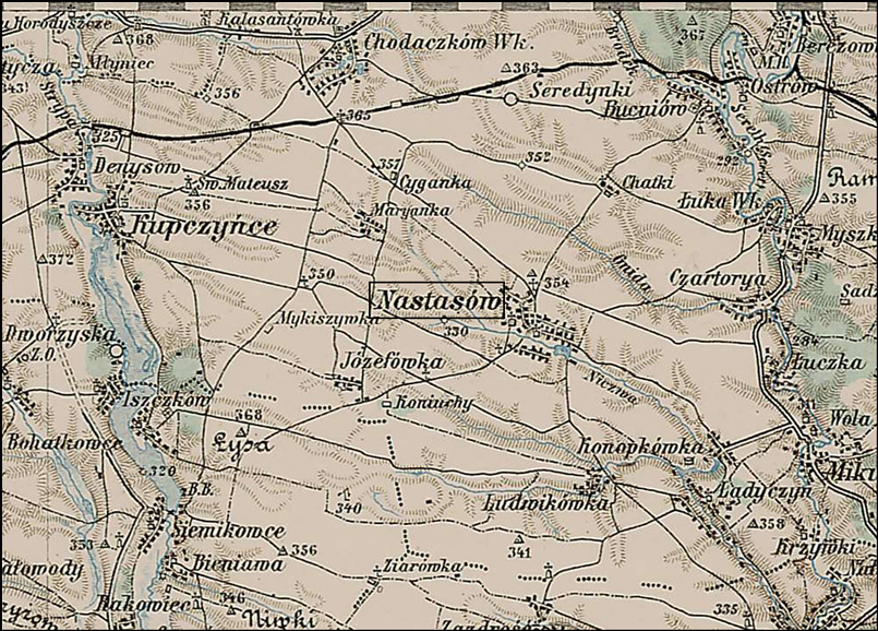
Map of the Village of Nastasiv (Nastasów) and Vicinity
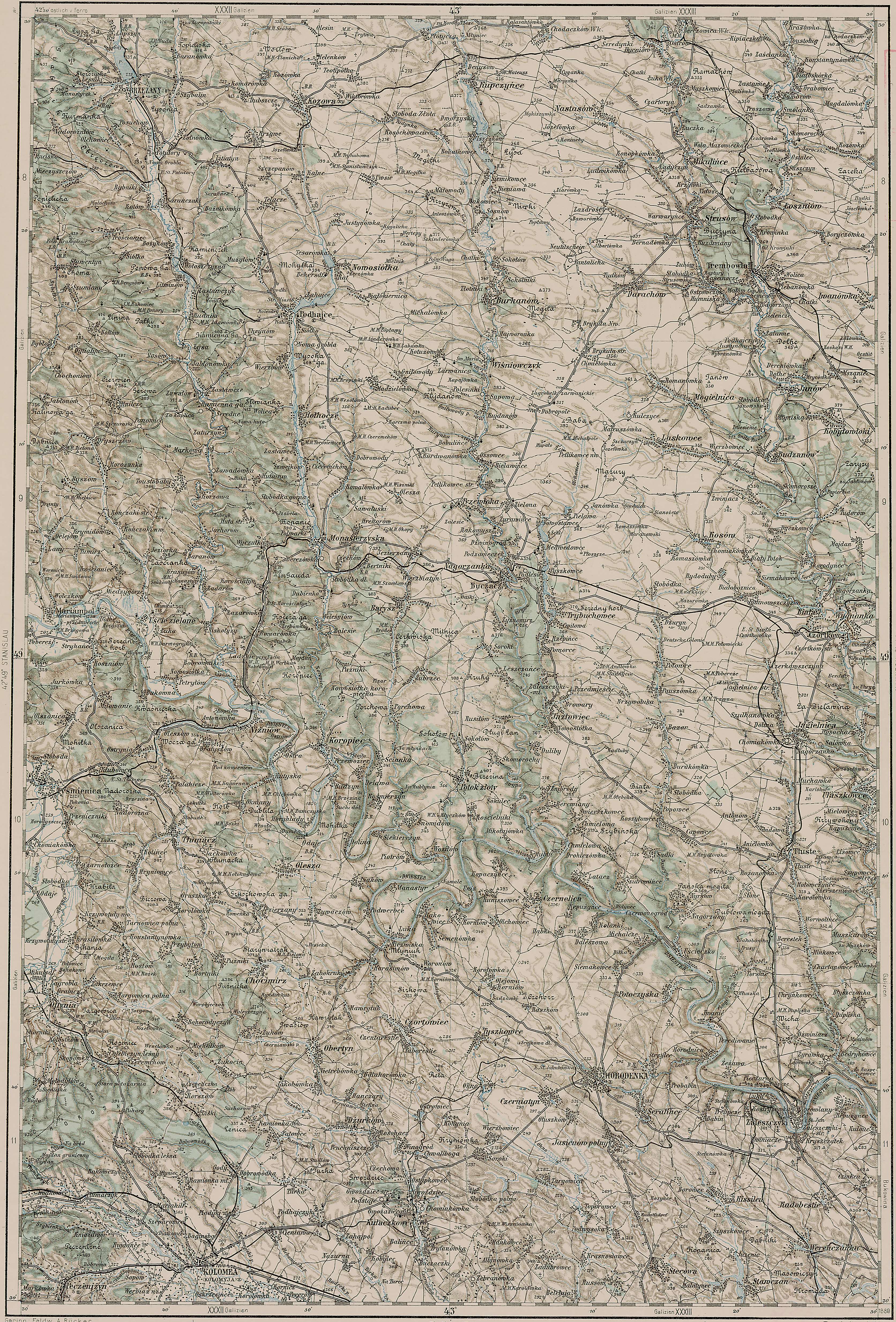
SOURCE: 3rd Military Mapping Survey of Austria-Hungary, Sheet 43-49, Kolomea. Online http://lazarus.elte.hu/hun/digkonyv/topo/200e/43-49.jpg; downloaded 01 Aug 2007.
On this map, one can find many of the villages mentioned in the Słownik Geograficzny entry for Nastasów except for Draganówka, which is on a different map (Sheet 43-50, Brody), and a few other villages such as Strusów which are just out of the view on this map. The first few letters of the names of the villages of Myszkowice and Mikulińce are just visible on the eastern edge of this map, and the tops of the letters of the village of Zadrość are visible at the southern edge of this map.
In combination with the Słownik Geograficzny entry, the location and lifestyle in Nastasów really starts to come to life.
The Family History Library (FHL) has microfilmed copies of the records from the parish church in Nastasów from 1786-1832. The FHL has also microfilmed copies of the records of the Roman Catholic Consistory in L’viv from 1600-1948 and the Greek Catholic Consistory in L’viv from 1607-1945. The records from the Consistory in L’viv should include records from Nastasów, and with luck will include more than just the 1786-1832 records in the microfilms for Nastasów itself.
With this information, I’m ready to start looking for the records of my stepmother’s Halaszyn ancestors.
Copyright © 2007 by Stephen J. Danko


Hi,
my wife’s grandma and her relatives come from Nastasow. During the ww2 they were taken by Russian/Soviet soldiers and transfered to Siberia to work there hard. Some of them died there (lots of casualties).
Later some of them travelled via Kazakhstan, Afghanistan, Persia/Iran to Egypt, Central Africa and South Africa too. Some of them had to wait in Siberia until 1946 to come back to Poland which, in the meantime, changed the borders (eastern area of Poland became Soviet) so they were located in a completely unknown places. They have never seen their homes in Nastasow area again. Lost everything. Terrible times.
Kind regards
Piotr
My paternal grandfather came from Nastasiv, circa 1906. His brother came from Luka Wielka, about 12 miles E and N of Nastasiv.
Good to know others are searching here.
Aware of any “Potoreyko” or “Poterejko” or Потерийко families and how I can get in touch with them, via phone or internet?
Sincerely,
Edward Potereiko