
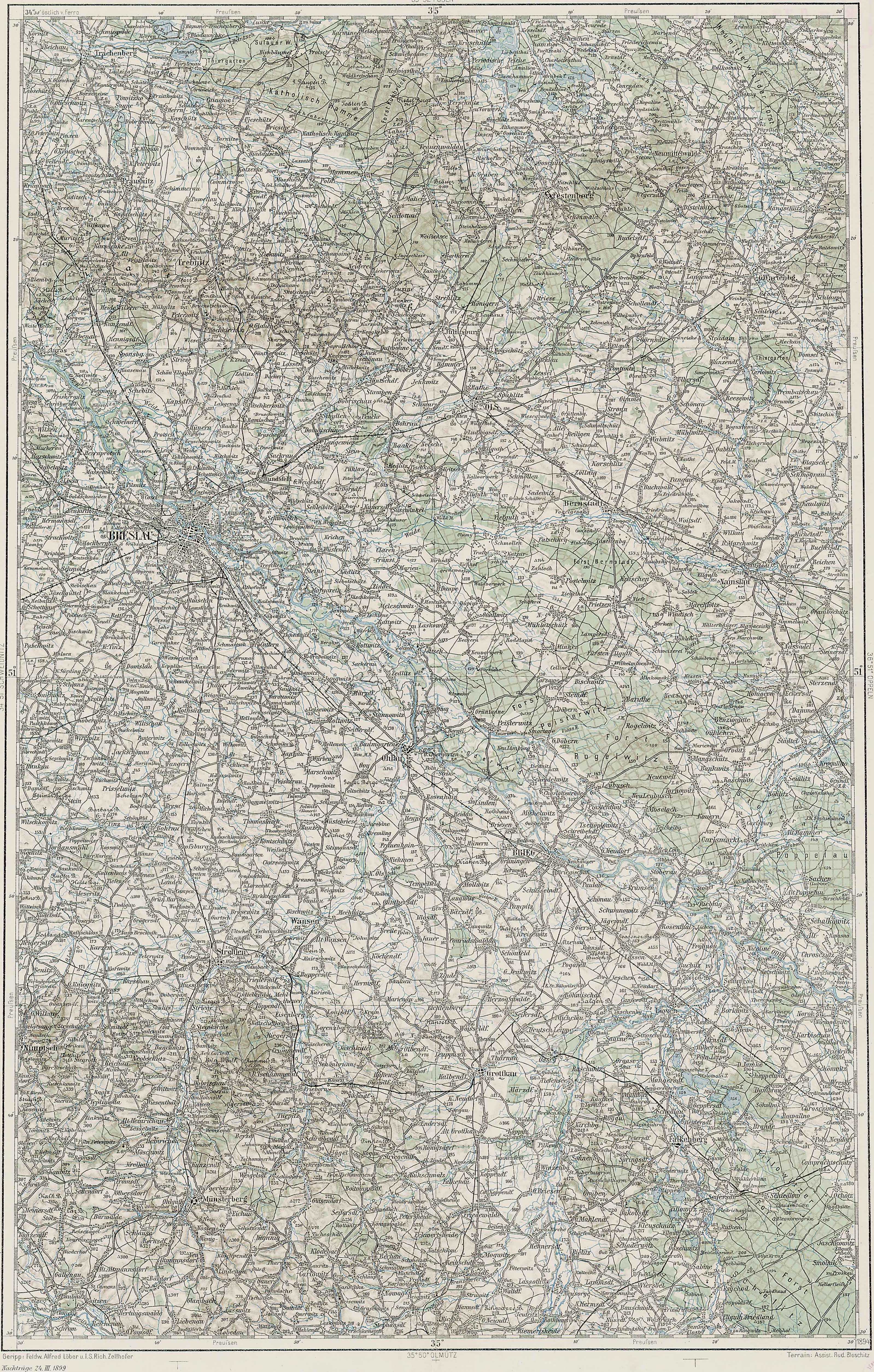
Of the six places called Długołęka in the Słownik Geograficzny Królestwa Polskiego i Innych Krajów Słowiańskich (Geographical Dictionary of the Kingdom of Poland and other Slavonic Countries), the sixth and last is located in the Krotoszyn Powiat and appears on the third Military Mapping Survey of Austria-Hungary on Sheet 35-51, Wroclaw . This village was located in the Prussian Partition of Poland and is identified by its German name, Langewiese, on the Austrian Military Map . Â The Słownik Geograficzny entry for Długołęka was translated in a previous post.
 - 1910")
Austrian Military Map of Długołęka (6) – 1910
SOURCE: Third Military Mapping Survey of Austria-Hungary, 35-51, Wroclaw. Online http://lazarus.elte.hu/hun/digkonyv/topo/200e/35-51.jpg; downloaded 28 Dec 2010.
Copyright © 2010 by Stephen J. Danko


